English
  Tiếng Việt
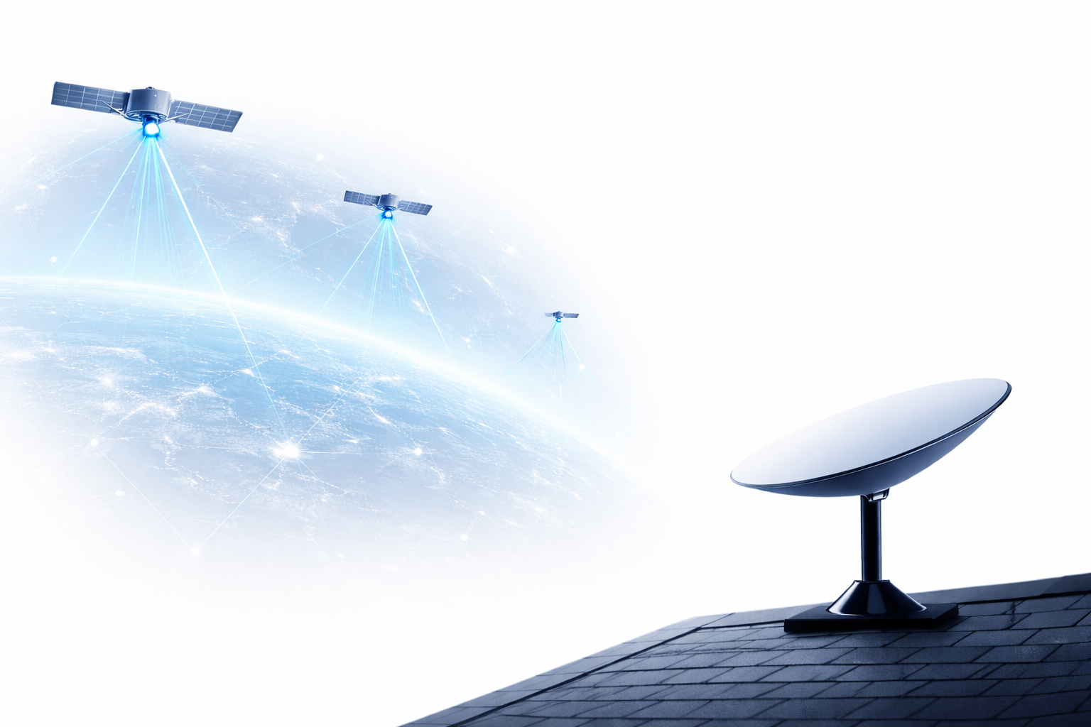
 In the era of strong technological development, satellite positioning (GPS) has become an indispensable part of our daily lives. From helping drivers navigate easily to supporting emergency rescue operations, satellite positioning applications offer countless benefits, saving time and improving accuracy in many activities. In this article, we will explore the popular applications of satellite positioning in modern life.
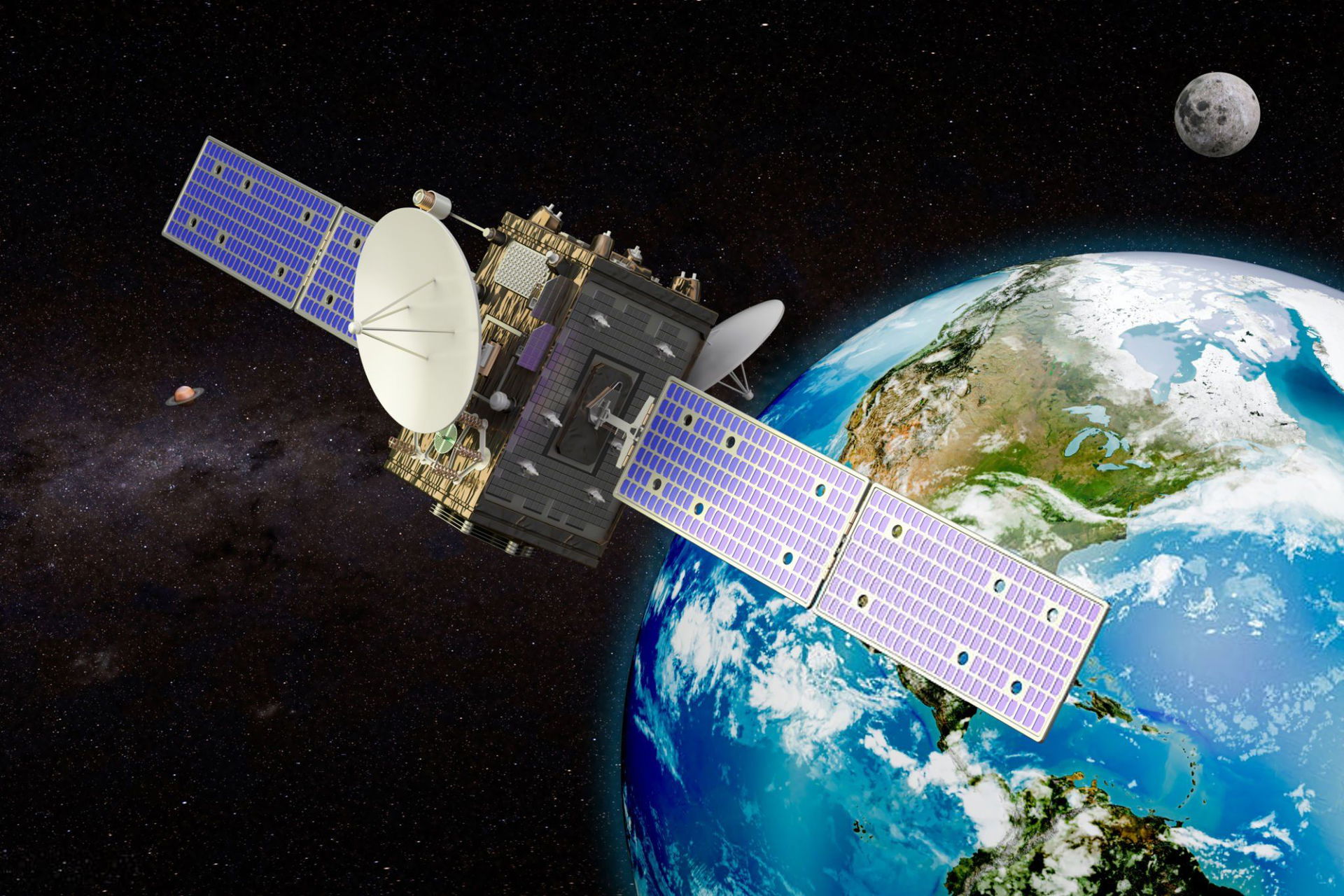
A satellite
1. Satellite Positioning in Driving
Driving is one of the activities where satellite positioning applications are most evident. GPS systems help drivers easily determine routes, navigate in crowded cities, or when entering unfamiliar territories. Satellite positioning applications like Google Maps, Apple Maps, or Waze provide detailed maps, traffic information, and even events like accidents or traffic jams, helping drivers find the most optimal route.
In addition, satellite positioning systems in cars today are also integrated with features such as speed alerts, helping drivers avoid fines for traffic violations.
2. Satellite Positioning in Mobile Applications
Not limited to driving, satellite positioning applications are now integrated into many different mobile applications. Apps like Uber, Grab, or Lyft use GPS to connect passengers with the nearest drivers, making rides faster and more convenient. This helps reduce waiting times and optimize driver efficiency.
In addition, sports applications like Strava or Runkeeper also utilize satellite positioning to record running distances, measure speed, and track users' training progress.
3. Satellite Positioning in Emergency Rescue
One of the most important applications of satellite positioning is in rescue operations. When accidents or incidents occur in remote or isolated areas, rescue teams can use GPS to determine the location of victims, thereby saving time and increasing the chances of survival. Satellite positioning systems in mobile devices or specialized equipment like SOS transmitters can help rescue teams receive accurate and timely information.
Furthermore, satellite positioning systems also play a crucial role in search and rescue operations at sea, high mountains, and dense forests, where there is no mobile network signal.
4. Satellite Positioning in Tourism and Exploration
Satellite positioning applications are also very useful in tourism and exploration activities. Tourists visiting unfamiliar places can use GPS to search for tourist attractions, restaurants, hotels, or safe resting spots. In exploration trips, especially on long journeys like trekking or mountain climbing, satellite positioning helps explorers and support teams determine their exact location, avoiding getting lost.
Specialized satellite positioning devices like Garmin or Suunto can also operate in areas without mobile signal, making users safer on their trips.
5. Satellite Positioning in Transportation and Logistics Management
Transportation and logistics companies also use satellite positioning technology to manage their fleets and optimize delivery routes. Positioning systems help track the location of vehicles, thereby making decisions about goods distribution in the most efficient and time-saving manner.
Transportation companies can also monitor vehicle status, track speed, and driver behavior to ensure safety throughout the transportation process.
6. Satellite Positioning in Agriculture
The application of satellite positioning in agriculture is becoming increasingly popular, especially in modern farming methods such as precision agriculture. GPS systems help farmers track the location of machinery, improve land use efficiency, and optimize irrigation and fertilization.Modern agricultural machinery such as tractors and harvesters have been integrated with GPS technology, helping to increase productivity and minimize waste.
https://youtu.be/91j5DGTAvfc?si=aaKm-3RSI3w5tFPa
Another application of satellite positioning is in asset management and geological surveying. Companies and government agencies use GPS to determine land boundaries, analyze geology, and build technical maps for construction and development projects.
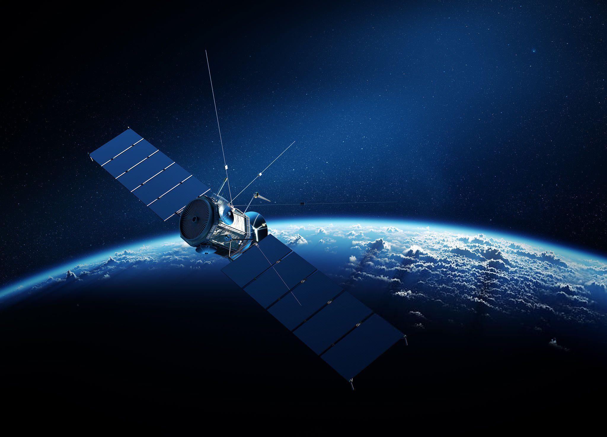
Satellite
A satellite
Conclusion