English
  Tiếng Việt
 In recent years, satellite navigation has become an indispensable technology in daily life. From using GPS for navigation to applications in agriculture, transportation, and even scientific research, satellite navigation systems have played a crucial role in connecting the world. This article will explore the history of satellite navigation development, especially the emergence and evolution of the GPS system, and the appearance of the Galileo system.
A satellite
1. What is Satellite Positioning?
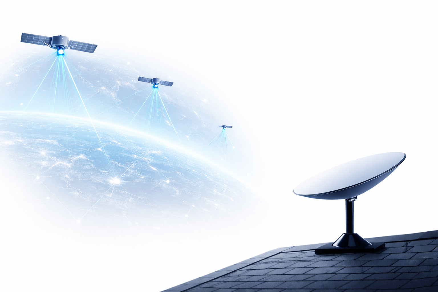
Satellite Navigation is a technology that uses satellites orbiting the Earth to provide accurate position and time information to devices on the ground. These satellites transmit signals to Earth, helping users determine their position in three-dimensional space (latitude, longitude, and altitude). Satellite navigation is not only applied in transportation but also in many other fields such as aviation, fisheries, agriculture, and even the military.
2. The Beginning with GPS
The first and most popular satellite navigation system today is GPS (Global Positioning System), developed by the US military in the 1970s. Initially, GPS was for military purposes only, but it was later expanded to serve civilian applications in the early 1980s. The GPS system consists of 24 satellites orbiting the Earth and can determine positions accurately within a few meters.
The development of GPS has created a revolution in many industries. GPS navigation services have become essential tools for vehicle navigation, cargo tracking, and providing support services for mobile phone users. The GPS system has helped improve traffic safety, increase work efficiency, and change the way people travel.
3. Galileo: Europe's Satellite Navigation System
Although GPS has dominated the satellite navigation market for many years, other countries and regions have also begun to develop their own satellite systems. One of these prominent systems is Galileo – the European Union's satellite navigation system.
Galileo began construction in 2003, with the goal of reducing dependence on US GPS and providing a high-precision global navigation service. This project is being implemented by the European Space Agency (ESA) and the European Union (EU), with the aim of not only serving civilian needs but also providing important services for military and security applications.
The Galileo system is designed with 30 satellites and can provide accuracy up to a few centimeters, significantly higher than traditional GPS. Galileo is allowed to operate independently or in conjunction with other satellite systems such as GPS, GLONASS (Russia), and Beidou (China), helping to enhance accuracy and accessibility.
4. Other Satellite Navigation Systems
In addition to GPS and Galileo, there are several other satellite navigation systems developed and used in different regions around the world.
- , GLONASS, and Galileo: Is Russia's satellite navigation system, created in the 1980s, but not fully completed and operational until 1995. GLONASS provides global navigation services, and Russia is currently upgrading it to improve accuracy and operational capabilities.
- . With strong investment from the Chinese government and great development potential, : China's satellite navigation system, developed since 2000. BeiDou has a global satellite network coverage and quite high accuracy. This project is expected to help China reduce its dependence on GPS and Galileo.
5. The Future of Satellite Navigation
With the continuous development of technology, satellite positioning systems will continue to improve in accuracy, speed, and connectivity. The combination of different satellite systems such as GPS, Galileo, GLONASS, and BeiDou helps to enhance reliability and applicability in many fields. In the future, new technologies such as satellite positioning based on seamless satellite signals or even relying on 5G networks may change the current way of positioning.

Remote sensing satellite
6. Conclusion
The history of satellite positioning development has gone through many important stages, from the GPS system developed by the US to the emergence of Galileo and other systems like GLONASS and BeiDou. Satellite positioning is not only a technology for military purposes but has also become an indispensable tool in modern life. With strong development and diverse applications, satellite positioning will continue to play an important role in the future.