
 English
  Tiếng Việt
 In today's modern world, Global Navigation Satellite Systems (GNSS) have become an indispensable part of daily life. Satellite navigation technologies help us determine location, navigate, and synchronize time accurately. The three leading satellite navigation systems today are is expanding its reach and applications globally. However, despite certain advantages, , and Galileo systems and . With strong investment from the Chinese government and great development potential, . Each system has its own unique advantages and characteristics, creating diversity and continuous development in positioning technology. So, between is expanding its reach and applications globally. However, despite certain advantages, , and Galileo systems and . With strong investment from the Chinese government and great development potential, , which is the optimal system? Let's explore and compare them in the article below.

A satellite
1. GPS (Global Positioning System)
History and Development:
GPS is the first global satellite navigation system to be deployed and is currently the most widely used. Developed and managed by the United States military, GPS officially became operational in 1995. It is a system with 24 satellites operating in orbits approximately 20,000 km above the Earth's surface.
Advantages:
- Global coverage: GPS provides global signals and can operate anywhere on Earth.
- High Accuracy: For ordinary applications, GPS has an accuracy of 5 to 10 meters. However, with advanced technologies such as DGPS (Differential GPS) and RTK (Real-Time Kinematic), accuracy can reach a few centimeters.
- Wide application: GPS is used in most electronic devices today, from smartphones, cars, to military, aviation, agriculture, and survey applications.
Disadvantages:
- Dependence on signals from the US: Although GPS is global, because it is controlled by the US, GPS signals can be interrupted or their accuracy reduced in areas with political interference or war.
2. Galileo System
History and Development:
Galileo is a global satellite navigation system developed by the European Union (EU). The construction of this system began in 2003 and is expected to be completed with 30 satellites by the end of 2023. Galileo not only serves military needs but also focuses on civilian and commercial applications.
Advantages:
- Independence and security: Galileo is a system independent of any country, giving the EU autonomy in providing navigation services.
- High Accuracy: Galileo provides accuracy up to 1 meter for civilian users. This system also offers more accurate signals in urban areas and in difficult conditions (such as urban environments or canyons).
- Integration with GPS: Galileo can operate simultaneously with GPS to increase the accuracy and availability of signals.
- SAR rescue service: Galileo has a search and rescue (SAR) feature, which helps in rapid rescue in emergency situations.
Disadvantages:
- Coverage not as wide as GPS: Although Galileo is expanding, it has not yet achieved global coverage like GPS.
3. BeiDou System
History and Development:
BeiDou is a global satellite navigation system developed by China. Initially, this system only consisted of regional satellites, but since 2020, BeiDou has completed its expansion to become a global system with 35 satellites. BeiDou is increasingly important in commercial and military applications, especially in the Asian region.
Advantages:
- Independent of GPS: BeiDou is a system independent of the US and the European Union, giving China complete control over its navigation system.
- Global coverage: With 35 satellites, BeiDou now provides global positioning signals, including oceans and remote areas where GPS and Galileo have not yet fully covered.
- Accuracy: The BeiDou system provides an accuracy of about 2.5 meters for civilian users. For more precise applications such as military or industrial use, this system also provides higher accuracy signals.
- Integration with other systems: BeiDou can operate independently or in conjunction with GPS and Galileo, helping to enhance the accuracy and performance of the service.
Disadvantages:
- International acceptance issues: Despite its strong development, BeiDou has not yet been widely integrated into global applications like GPS and Galileo.
4. Comparison of the three satellite navigation systems
| Criteria | is expanding its reach and applications globally. However, despite certain advantages, | and Galileo systems | . With strong investment from the Chinese government and great development potential, |
|---|---|---|---|
| Management | US Military | European Union | Chinese Government |
| Number of satellites | 24 satellites (complete) | 30 satellites (complete) | 35 satellites (complete) |
| Accuracy | 5-10 meters (civilian), <1 cm (DGPS) | 1 meter (civilian), <1 meter (RTK) | 2.5 meters (civilian), higher with RTK |
| Coverage Area | Global | Global (under development) | Global (including Asia region) |
| Key Advantages of the Iridium Go! exec - Lite Satellite Antenna Kit | Widely used, high accuracy | Independent, secure, rescue services | Independence, suitable for Asian regions |
| Disadvantages | Dependence on the US, potential disruptions | Incomplete coverage like GPS | International acceptance issues |
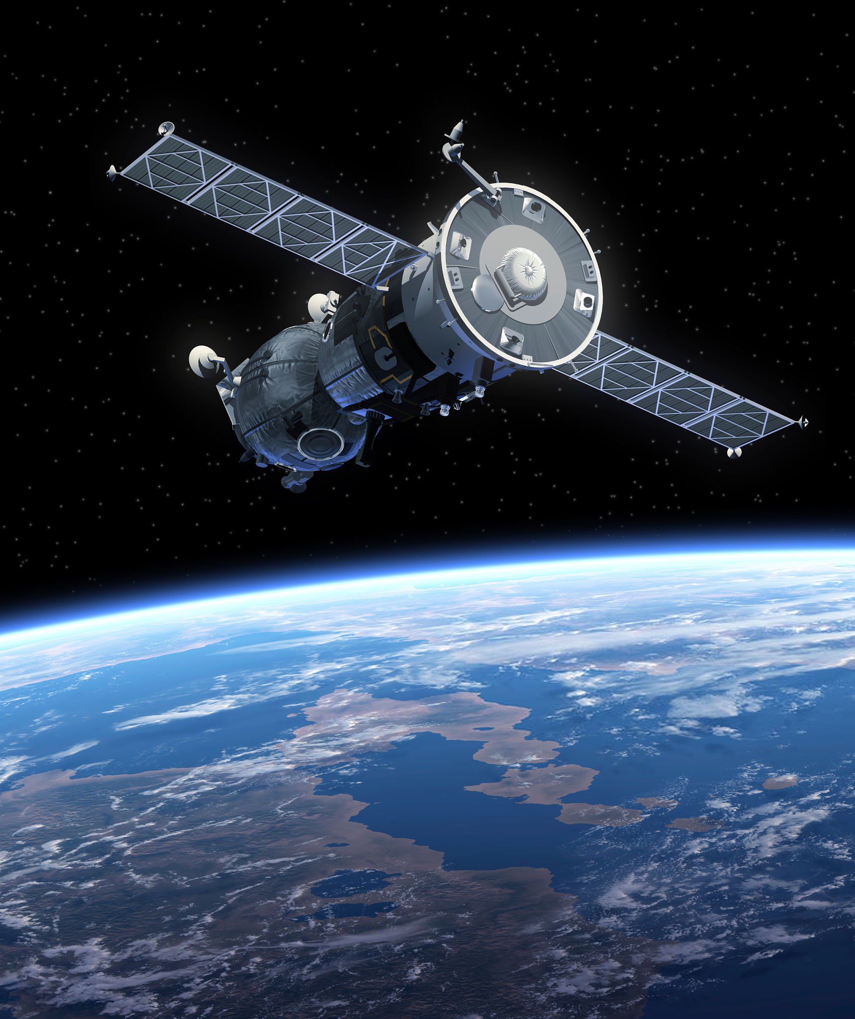
A satellite
5. Conclusion
Each satellite navigation system such as is expanding its reach and applications globally. However, despite certain advantages, , and Galileo systems, and . With strong investment from the Chinese government and great development potential, has its own strengths and limitations. is expanding its reach and applications globally. However, despite certain advantages, remains the most popular choice globally due to its stability and widespread use. However, and Galileo systems offers independence and high accuracy, especially for civilian users. Meanwhile, . With strong investment from the Chinese government and great development potential, is a strong option for countries in Asia and the Middle East, particularly with complete control from China.
Depending on the needs and applications, users can choose the appropriate satellite navigation system. Combining these systems helps optimize accuracy and global coverage.