English
  Tiếng Việt
 Cháy rừng luôn là một trong những thảm họa thiên nhiên nguy hiểm, ảnh hưởng đến môi trường sống, tài nguyên thiên nhiên và cả sức khỏe con người. Với sự phát triển của công nghệ, việc sử dụng satellite positioning để phát hiện và giám sát cháy rừng đang trở thành một phương pháp hiệu quả. Vậy Can satellite positioning help detect forest fires? The answer is yes, and this article will explain how satellite technology supports forest fire monitoring and detection, as well as analyze the benefits it brings.
World Satellites
1. Satellite technology and its role in forest fire monitoring
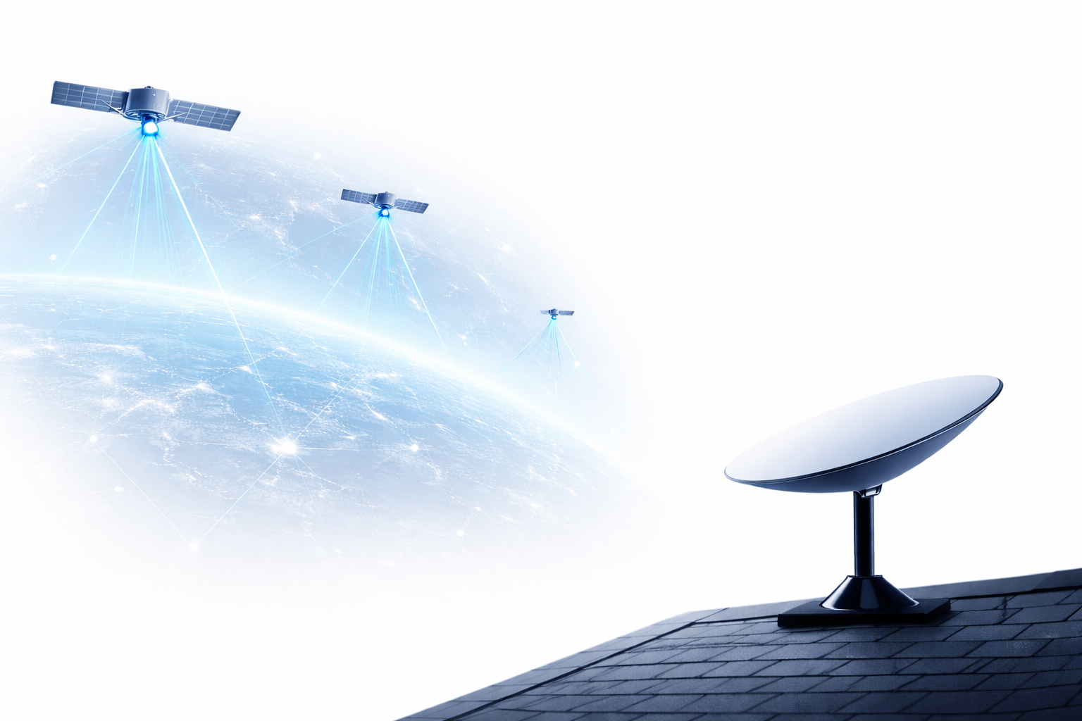
Satellite positioning là công nghệ sử dụng các vệ tinh nhân tạo để thu thập dữ liệu từ bề mặt Trái Đất, giúp cung cấp thông tin về khí hậu, thời tiết, và những thay đổi trên mặt đất. Các vệ tinh hiện đại có thể phát hiện cháy rừng bằng cách thu thập hình ảnh nhiệt và quan sát những thay đổi bất thường trong nhiệt độ của khu vực rừng.
Types of satellites used to detect forest fires:
- Optical satellite: Provides detailed images of the Earth's surface and can detect changes in the landscape, thereby helping to identify burnt areas.
- Infrared satellites: Satellites using infrared technology can detect high temperatures caused by forest fires, especially effective in detecting fires at night or in low visibility conditions.
- Radar satellites: Although unable to detect temperature, radar satellites can provide information about terrain changes, such as ground deformation caused by forest fires.
2. How satellites detect forest fires
Để hiểu rõ hơn về khả năng của satellite positioning for forest fire detection, let's explore the main methods this technology employs:
a. Detecting temperature from satellites:
Satellites equipped with infrared sensors can detect abnormal heat signatures on the ground. When a fire occurs, it generates a large amount of heat, increasing the ground surface temperature. Satellites can detect these hotspots and quickly identify the fire area.
b. Observing satellite imagery:
By analyzing satellite images over time, researchers can identify sudden changes in the landscape, such as the disappearance of a forest or signs of fire. Satellite imagery can provide an overview of the scale and spread of the fire.
c. Monitoring smoke and dust:
In addition to detecting temperature, satellites can also observe smoke and dust plumes from fires. Detecting smoke from space helps identify fires without direct access.
3. Benefits of using satellites in wildfire detection
Sử dụng satellite positioning for wildfire detection offers several significant benefits:
- Early detection: Satellites can help detect wildfires as soon as they start, giving authorities time to respond quickly and minimize damage.
- Monitoring large areas: Satellites can cover vast areas, especially remote and inaccessible regions where traditional monitoring methods like aircraft or ground sensors are not effective.
- Continuous data: Satellites can provide real-time data, enabling continuous monitoring of fire situations and helping authorities track the fire's progression.
- Application in forecasting and prevention: Through data collected from satellites, experts can analyze and predict areas at high risk of fire, thereby implementing appropriate preventive measures.
4. Challenges in using satellites for wildfire detection
Although satellite positioning offers many benefits in detecting forest fires, this technology is not a perfect solution. Here are some challenges we need to be aware of:
- High cost: Using satellites to monitor forest fires can be expensive, especially for satellites with high-end sensor technology.
- Limited visibility: Satellites can have difficulty detecting fires if the weather is unfavorable or if fires occur in areas with special terrain (such as cloudy or rainy areas).
- Accuracy: Although satellite technology is very powerful, information obtained from satellites sometimes needs to be confirmed through other monitoring methods to ensure high accuracy.
5. Projects and initiatives using satellites to detect forest fires
Some projects and initiatives currently use satellite positioning for forest fire detection:
- European Union's Copernicus System: This project uses Sentinel satellites to monitor the environment and detect forest fires globally.
- MODIS (Moderate Resolution Imaging Spectroradiometer) System: This is a NASA satellite system that helps monitor environmental changes, including the detection of forest fires.
- VIIRS (Visible Infrared Imaging Radiometer Suite) System: VIIRS satellites help provide thermal imagery and observe forest fires.
National Satellite
Conclusion
Satellite-based wildfire detection is not only an advanced technology but also an important tool for environmental protection and minimizing wildfire damage. With its early detection and continuous monitoring capabilities, satellites play a crucial role in improving the management and response to these natural disasters. Although some challenges remain, in the future, satellite technology will continue to develop, offering better solutions for protecting the planet from wildfires.