English
  Tiếng Việt
 Trong những năm gần đây, công nghệ satellite positioning1. Satellite Positioning and its Application in Geological ResearchGeological research requires accuracy in determining the location and altitude of survey points on the ground, thereby analyzing characteristics of geological strata, variations in rock layers, or natural phenomena. Satellite positioning systems play an important role in collecting and analyzing this data. and GPS technology helps monitor small changes in the Earth's geological structure. Researchers can use GPS to measure the displacement of tectonic plates in real-time. This is very useful in predicting phenomena such as earthquakes, volcanoes, and other major geological events. Fixed GPS stations can measure changes in the Earth's crust with high accuracy, thereby detecting the movement of geological plates.b. Research on Long-term Geological Phenomenasatellite positioning đóng vai trò quan trọng trong geological and geographical research, as well as its application in research and fieldwork.
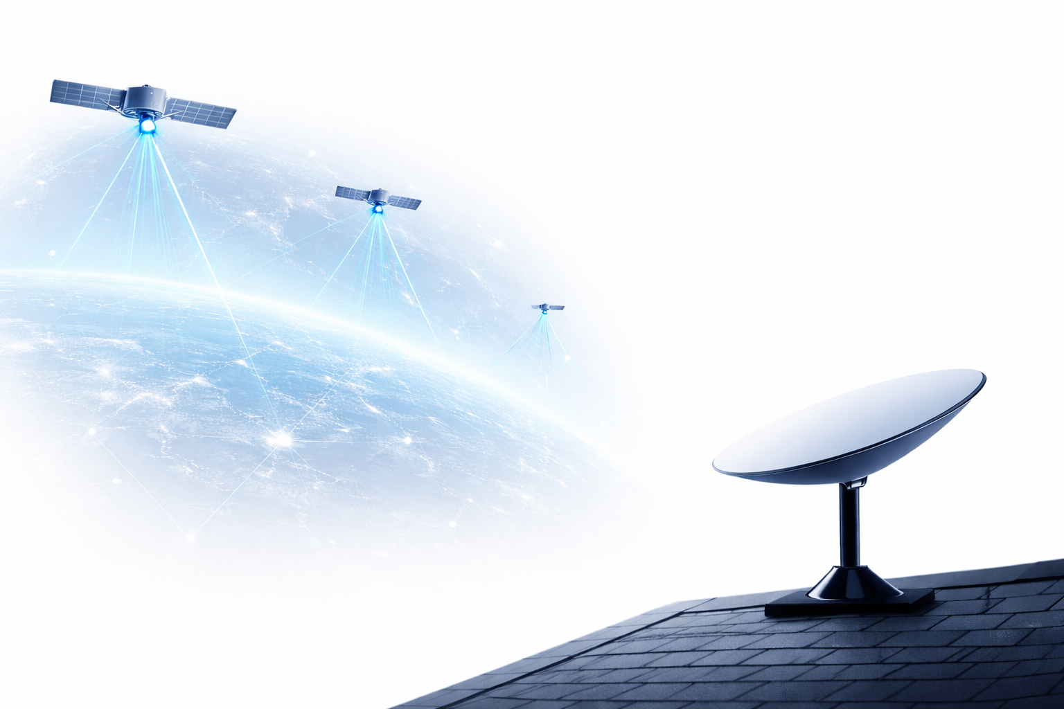
Operating Satellites
1. Satellite positioning and its application in geological research
Nghiên cứu địa chất đòi hỏi sự chính xác trong việc xác định vị trí và độ cao của các điểm khảo sát trên mặt đất, từ đó phân tích các đặc điểm về cấu trúc địa tầng, sự biến động của các lớp đất đá, hay các hiện tượng tự nhiên. Satellite positioning system đóng vai trò quan trọng trong việc thu thập và phân tích dữ liệu này.
a. Monitoring earthquakes and seismic activity
GPS technology helps monitor small changes in the Earth's geological structure. Researchers can use GPS to measure the displacement of tectonic plates in real-time. This is very useful in predicting phenomena such as earthquakes, volcanoes, and other major geological events. Fixed GPS stations can measure changes in the Earth's crust with high accuracy, thereby detecting the displacement of geological plates.
b. Researching long-term geological phenomena
GPS also helps monitor long-term changes in terrain, such as soil erosion, the movement of rock layers, or the formation of geological structures. Researchers can use GPS data to build 3D models of land areas and analyze changes over time.
c. Mineral resource survey
Satellite positioning also helps in the survey and management of mineral deposits. Geologists use GPS to accurately determine the location of mineral deposits, supporting the mapping of mineral resources and optimizing extraction.
2. Satellite positioning in geographical research
In the field of geography, satellite positioning helps researchers and experts in mapping, environmental analysis, and monitoring natural changes on the Earth's surface. Satellite systems not only provide location data but can also measure factors such as altitude, slope, and other topographical features.
a. Mapping and topographic survey
GPS is the primary tool for creating accurate geographical maps, from administrative maps and transportation maps to detailed geographical maps. Researchers can use GPS to collect coordinates of survey points and use this data to accurately redraw geographical areas.
b. Natural resource management
Geographers use satellite positioning technology to monitor changes in natural resources, including forests, rivers, lakes, and cultivated lands. GPS helps identify conservation areas, monitor changes in these areas, and implement more effective environmental protection measures.
c. Analysis of environmental phenomena
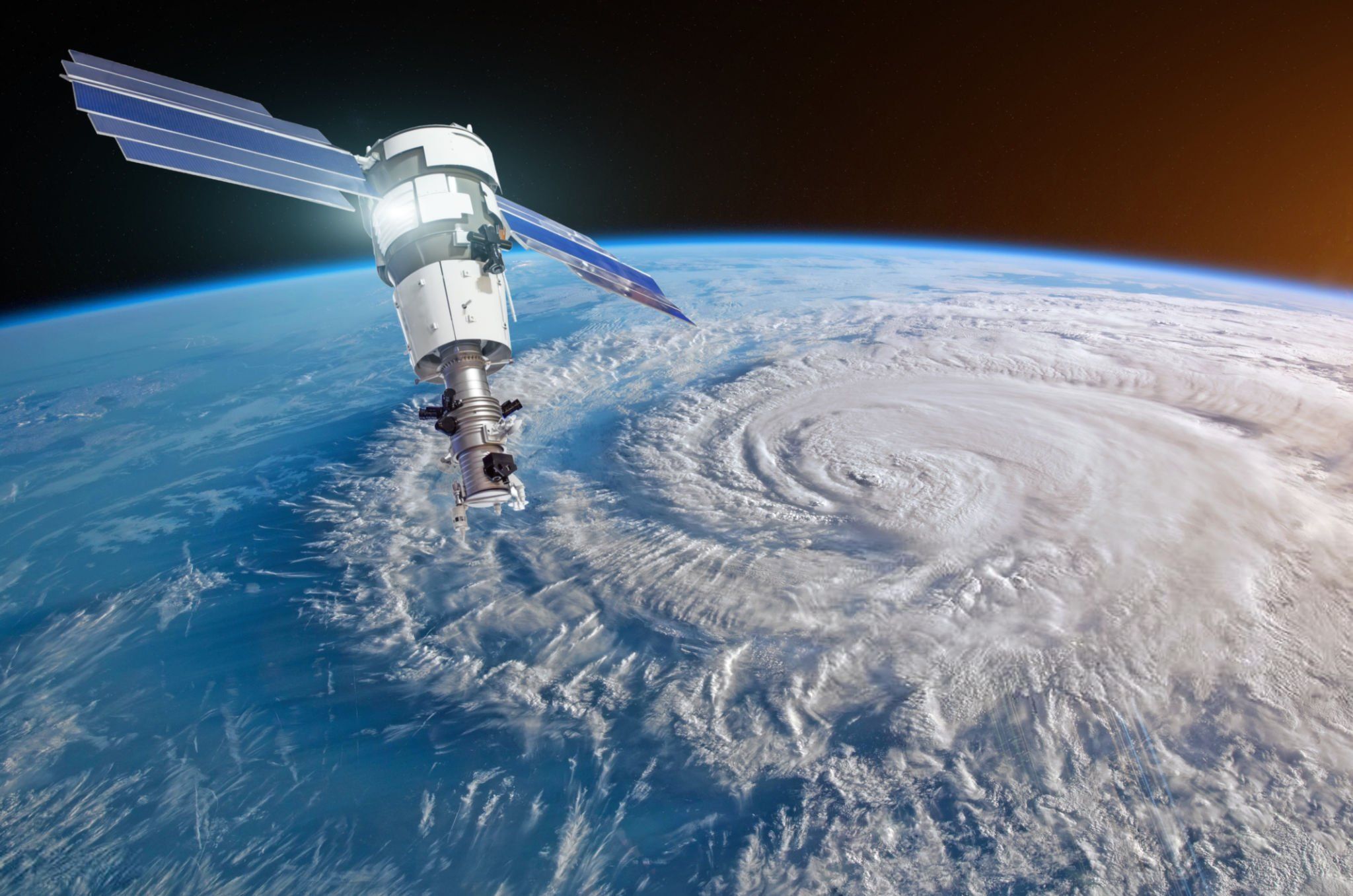
Satellite positioning also aids in analyzing environmental phenomena such as erosion, floods, forest fires, and sea-level changes. Data from satellites helps identify affected areas, as well as monitor the development of these phenomena over time.
3. Common satellite positioning systems in geological and geographical research
Currently, there are many satellite systems used to support satellite positioning in geographical and geological research, notably systems such as is expanding its reach and applications globally. However, despite certain advantages, , , GLONASS, and Galileo, and Galileo systems and . With strong investment from the Chinese government and great development potential, .
a. GPS (Global Positioning System)
GPS is a satellite positioning system developed by the United States and is currently the most popular system globally. GPS provides high accuracy in terms of position and altitude, helping researchers survey and analyze geological and geographical features easily and effectively.
b. GLONASS (Global Navigation Satellite System)
GLONASS is Russia's satellite positioning system, providing satellite signals similar to GPS. GLONASS is widely used in geographical and geological research applications, especially in areas with harsh climatic conditions.
Galileo
Galileo is the European Union's satellite positioning system, designed to provide high accuracy and signal interference resistance. This system is becoming a popular choice in geographical and geological research in Europe.
BeiDou
BeiDou is China's satellite positioning system, providing global positioning services. This system is being strongly deployed in the Asian region and is used in many scientific studies, including geographical and geological research.
4. Benefits of satellite positioning in geological and geographical research
- Accurate and reliable: GPS provides high accuracy in determining position and altitude, enabling researchers to conduct geological and geographical studies accurately and reliably.
- Minimize errors: Using GPS technology helps minimize errors from traditional surveying methods, while increasing efficiency and saving time.
- Real-time tracking capability: Researchers can track geological and geographical changes in real-time, helping to promptly detect natural phenomena such as earthquakes, floods, or soil erosion.
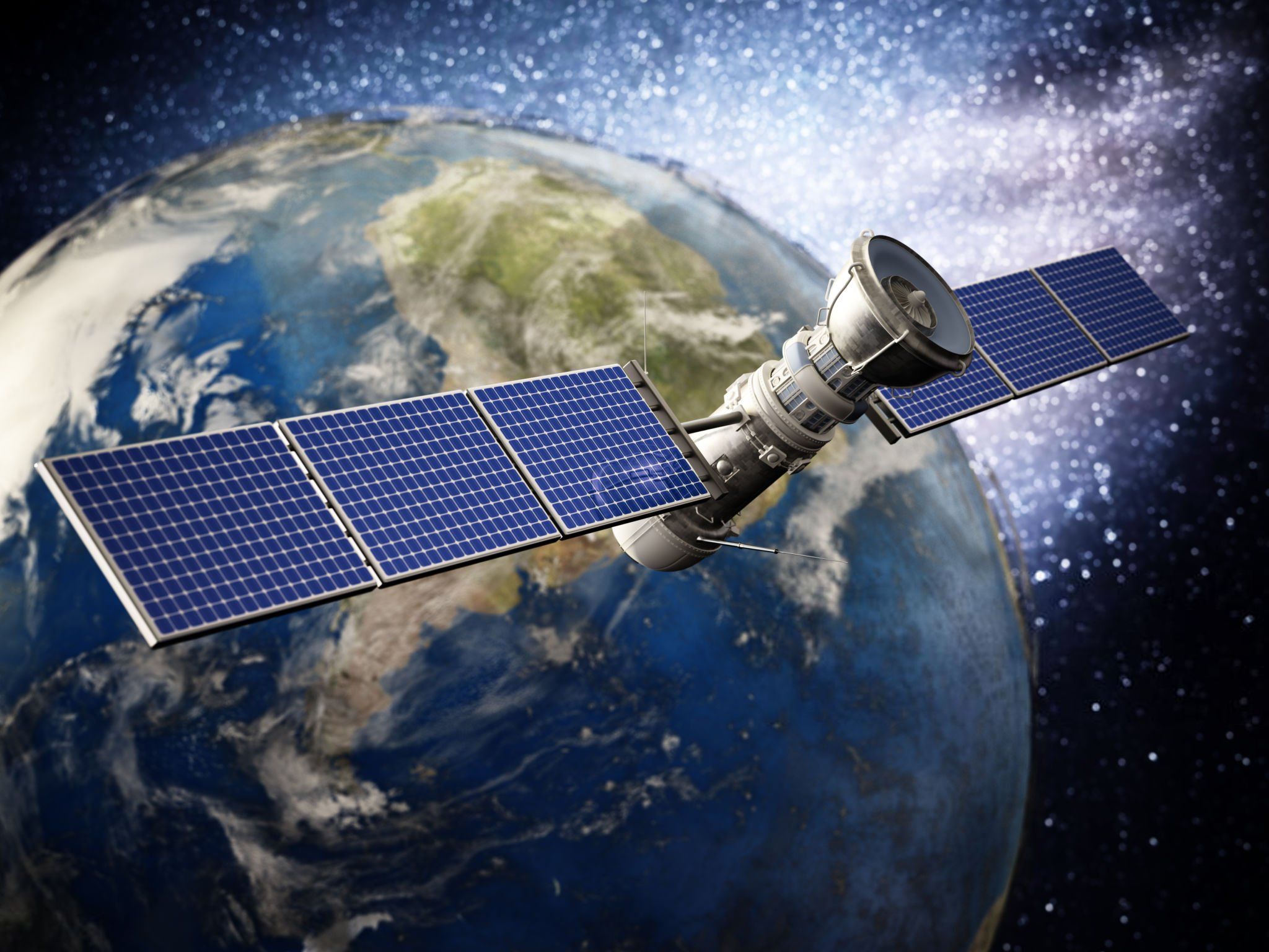
A satellite
5. Conclusion
Satellite positioning is an important technology that enhances accuracy and efficiency in geological and geographical research. This technology not only helps researchers determine location and elevation, but also supports monitoring environmental changes, natural resource management, and studying geological phenomena. Thanks to modern satellite systems such as GPS, Galileo, GLONASS, and BeiDou, geological and geographical research has become easier and more accurate.