English
  Tiếng Việt
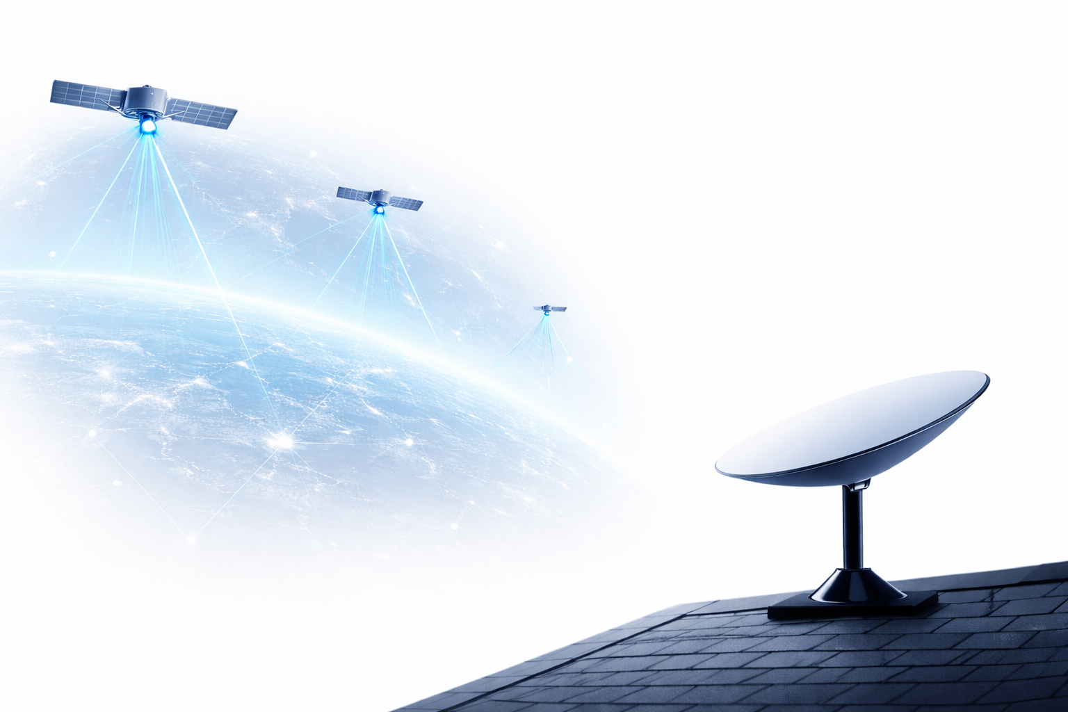
 In today's digital age, real-time satellite tracking is becoming increasingly important in many fields, from telecommunications, GPS navigation, to scientific research and earth observation. This tracking provides accurate information about the position, orbit, and status of satellites in space, helping to support global applications and services. However, to be able to track satellites in real-time, advanced technologies are needed to collect and process satellite data. This article will introduce real-time satellite tracking technologies and their applications in various fields.
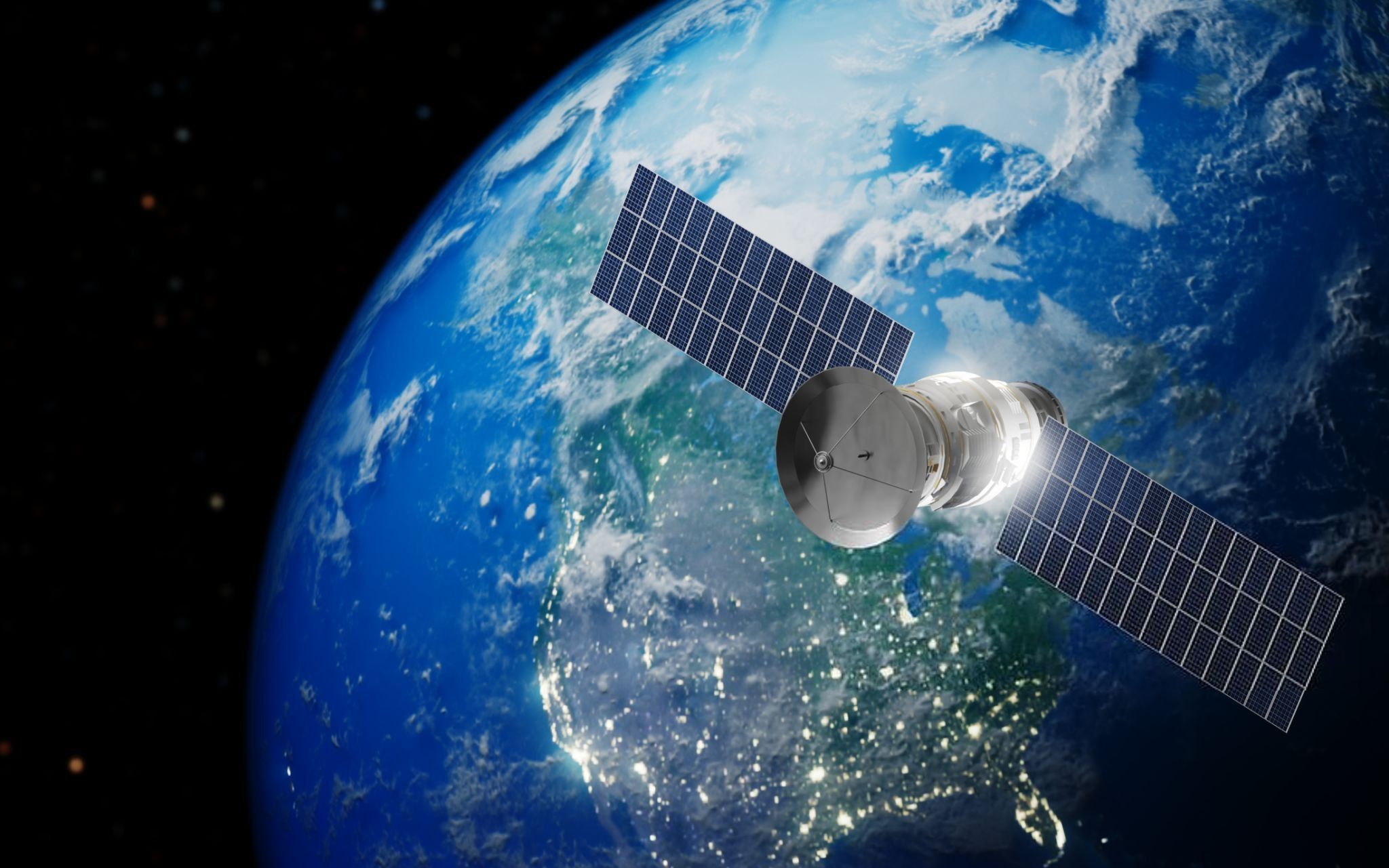
A satellite
1. Definition of real-time satellite tracking
Real-time satellite tracking is the process of monitoring and collecting data on the position, orbit, and status of satellites in real-time. Satellites operating in orbit around the Earth provide signals that devices can recognize, helping to accurately determine factors such as altitude, speed, and position of the satellite. This tracking technology is crucial for providing global positioning, telecommunications, and traffic management.
2. Technologies supporting real-time satellite tracking
To accurately and effectively track satellites in real-time, the following technologies play an important role:
a. Global Navigation Satellite System (GNSS)
GNSS (Global Navigation Satellite System) systems are satellite systems that help determine position and time accurately. Some popular GNSS systems include:GPS (Global Positioning System)
- GPS (Global Positioning System): The US satellite system, the most popular GNSS system widely used in global positioning.
- , GLONASS, and Galileo: The Russian satellite system, operates similarly to GPS, but provides services mainly in the Russian region and its surroundings.
- and Galileo systems: The European Union's satellite system, designed to provide higher accuracy for users in Europe and other regions.
- . With strong investment from the Chinese government and great development potential, : China's satellite system, which is becoming increasingly popular and provides services to the Asian region and globally.
These systems not only assist in determining location but also help in real-time satellite tracking and provide data on satellite orbits and status.
b. Satellite Data Analysis
To track satellites in real-time, satellite data analysis technologies also play an important role. Analysis methods include:
- Satellite Imagery and Remote Sensing: Images from satellites help analyze the status and orbits of satellites. These images also provide crucial data about the Earth's surface, helping to monitor phenomena such as climate change, natural disasters, and military activities.
- Orbital Analysis Software Systems: Orbital analysis software helps predict and track the movement of satellites. These software programs can process real-time data from satellites and provide accurate information about their positions in orbit.
c. Radar Technology and Radar Tracking
Radar technology helps track satellites in space by transmitting signals and receiving reflections from satellites. Radar systems can track the position and orbit of satellites, as well as help identify undesirable actions such as orbit changes or equipment damage.Radar Space Surveillanceis a prominent technology in real-time satellite tracking.
d. Satellite Tracking Station Network
Ground tracking stations are equipped with antenna systems and signal transmission and reception devices to communicate with satellites, collect satellite data, and monitor their status. These stations can track satellites in real-time and send data to coordination centers for analysis and processing.
- GNSS ground station: These stations help track signals from GNSS satellites to ensure accuracy and stability in satellite positioning.
- Space tracking station: Used to track deep space satellites, these stations can monitor satellites at greater distances.
3. Applications of Real-time Satellite Tracking
a. Global Positioning and GPS Services
The most common application of real-time satellite tracking is in the field ofglobal positioning. Services such as Google Maps, , Apple Maps, and automotive GPS systems all rely on this technology to determine location and provide directions to users.
b. Remote Sensing and Environmental Monitoring
Satellite tracking technology is also used forenvironmental monitoringand tracking natural phenomena such as forest fires, floods, and climate change. Satellites can provide accurate images and data about the environment, helping organizations and research agencies predict and respond to natural disasters.
c. Traffic and Transportation Management
Satellite tracking systems help monitor moving vehicles and managetraffic. Services such as Uber, Lyft, and smart traffic use this technology to optimize driver allocation and control traffic flow.
d. National defense and military surveillance
In the field of defense, real-time satellite tracking helps monitor military activities and protect important satellites. Radar and orbital analysis technologies help detect threats and identify unusual changes in satellite orbits.
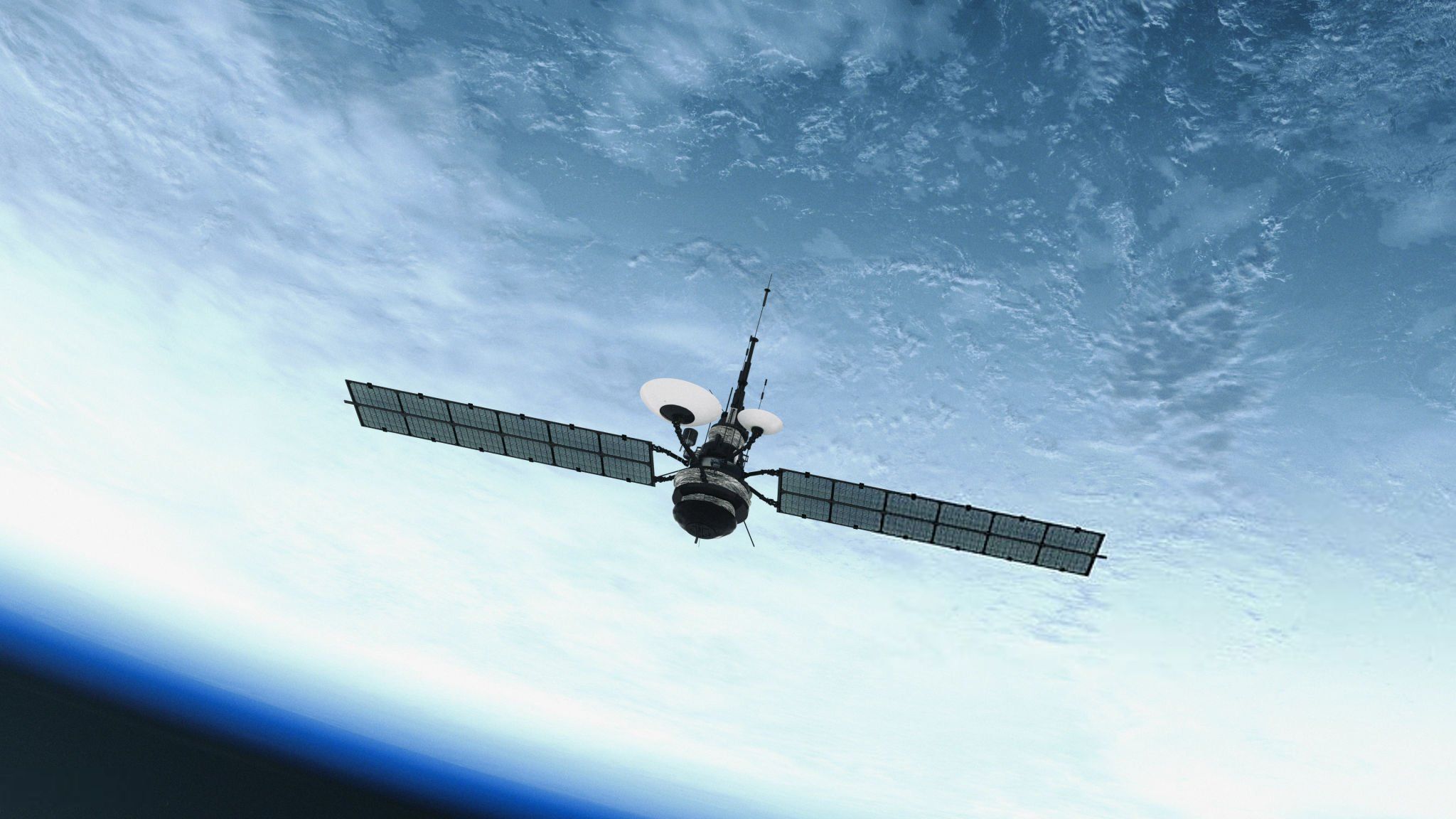
Satellite control
4. Conclusion
Technologyreal-time satellite tracking not only plays an important role in navigation and environmental monitoring services, but also helps enhance security and traffic management. Systems such as GNSS, radar, and ground tracking stations all contribute to improving the accuracy and efficiency of the satellite tracking process. Thanks to the development of technology, real-time satellite tracking applications are becoming increasingly important and have a profound impact in many different fields.