
 English
  Tiếng Việt
 In the context of a developing economy and the increasing need for efficient fleet operations, satellite positioning (GPS) has become an indispensable tool for managing and optimizing fleet operations. The use of GPS technology enables businesses to easily track, monitor, and coordinate their fleets, thereby improving work efficiency, reducing costs, and enhancing driver safety. This article will help you better understand the application of satellite positioning in corporate fleet management and the practical benefits it brings.

A satellite
1. What is satellite positioning and how does it work?
Satellite positioning is a technology that uses satellites in space to determine the position of an object on the ground. is expanding its reach and applications globally. However, despite certain advantages, (Global Positioning System) is the most popular positioning system today. GPS works by connecting GPS signal receiving devices with satellites orbiting the Earth, thereby determining the precise location of the device.
In corporate fleet management, fleet satellite positioning devices are installed on each vehicle, helping to monitor the location, route, and related information about the vehicle's status in real-time.
2. Benefits of using satellite positioning in corporate fleet management
a. Monitoring vehicle location and routes
One of the main applications of fleet satellite positioning is the ability to track vehicle location in real-time. This allows fleet managers to grasp the exact location of each vehicle, from which:
- Route Management: Helps optimize transportation routes, minimize travel time and fuel consumption.
- Reduce downtime: Tracking vehicle downtime helps limit unnecessary stops, saving time and costs.
b. Enhance safety and security
With GPS technology, businesses can:
- Monitor driver behavior: Control speed, dangerous driving behaviors such as sudden braking, sudden acceleration, or driving while fatigued, thereby minimizing accident risks.
- Detect stolen vehicles: If a vehicle is stolen, having a GPS system will help determine the exact location of the vehicle and assist authorities in quickly recovering the vehicle.
c. Optimize operational performance
Through data collected from the fleet satellite positioning, businesses can:
- Analyze the performance of each driver: Assess driving time, speed, distance traveled, helping businesses make reasonable adjustments.
- Increase coordination efficiency: Accurate vehicle tracking will help the dispatch department arrange work more reasonably, save time and reduce costs.
d. Manage and reduce fuel costs
Một trong những vấn đề lớn trong quản lý đội xe là fuel costs. Satellite positioning technology helps businesses:
- Track fuel consumption: GPS systems can connect to fuel sensors to monitor fuel consumption levels, helping to detect problems such as leaks or inefficient driving.
- Reduce fuel consumption : Optimizing routes and reducing idle time helps save fuel, thereby reducing operating costs.
3. Outstanding features of satellite positioning devices for fleets
a. SMS or app alerts and notifications
The fleet satellite positioning có thể cài đặt các cảnh báo về những sự cố như xe chạy quá tốc độ, vượt quá thời gian dừng đỗ, hoặc ra khỏi khu vực đã được thiết lập. Những cảnh báo này giúp quản lý đội xe nhanh chóng có biện pháp xử lý kịp thời.
b. Trip history and detailed reports
Thông qua các báo cáo chi tiết về trip history của các phương tiện, doanh nghiệp có thể:
- Check activity: Review the route taken, number of stops, travel time, and then evaluate and make decisions to improve the process.
- Cost Reporting: Review fuel costs and other expenses for each trip, helping businesses plan their finances more effectively.
c. Geo-fencing
Functions and function allows managers to define a safe zone (or restricted zone) on the map. When a vehicle enters or exits this zone, the system automatically notifies the manager. This helps prevent vehicles from deviating from their routes or quickly detect vehicle theft.
d. Emergency alarm and SOS feature
FeaturesSOS feature allows drivers to send an emergency notification if they encounter problems or dangerous situations. The system will automatically send a notification to the manager or support team, helping to quickly resolve emergency situations.
4. Steps to implement a satellite positioning system for a business fleet
Step 1: Select suitable equipment and software
First, businesses need to identify their specific needs and choose a suitable fleet satellite positioning system. Factors to consider when choosing equipment include accuracy, alert features, remote tracking capabilities, and cost.
Step 2: Install GPS equipment on vehicles
After selecting the equipment, the GPS system needs to be installed on each vehicle in the fleet. This process should be carried out by professional technicians to ensure the system operates effectively.
Step 3: Train staff and drivers
Businesses need to organize training sessions for staff and drivers to guide them on how to use the positioning system and utilize the device's useful features. This will help optimize management efficiency and minimize operational errors.
Step 4: Data Monitoring and Analysis
After deployment, the system will begin to provide continuous data on the location, routes, and vehicle performance-related metrics. Managers need to regularly monitor and analyze reports to make timely adjustments.
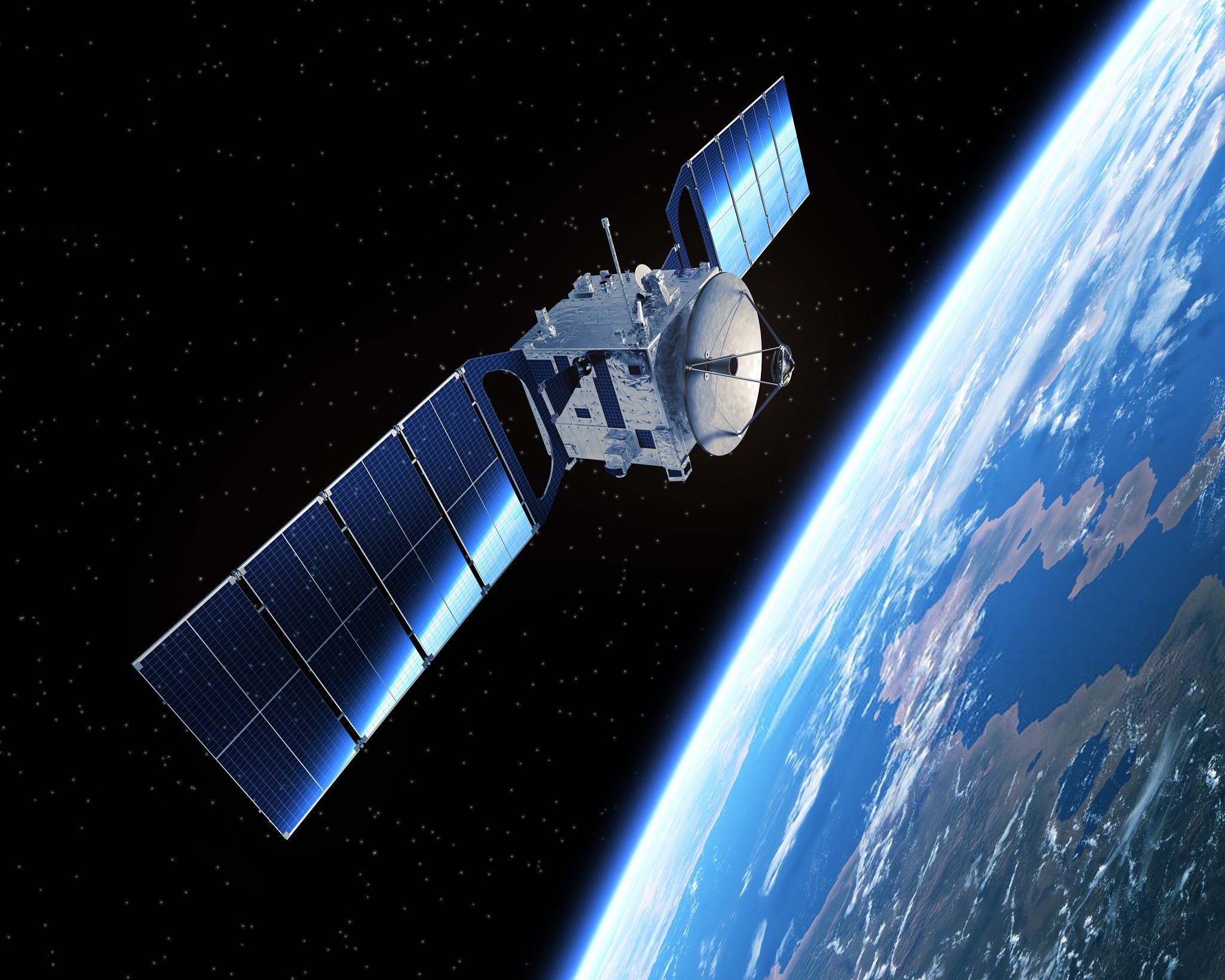
Vinasat Satellite
5. Conclusion
The application of satellite positioning in enterprise fleet management is an advanced technological solution that helps optimize operational efficiency, reduce costs, and ensure the safety of drivers and vehicles. Benefits such as real-time monitoring, enhanced safety, fuel cost savings, and improved work efficiency will help businesses increase productivity and maximize profits. If applied correctly, the GPS system will become a powerful tool for fleet management and improving the quality of the enterprise's transportation services.