English
  Tiếng Việt
 🛰️ Ứng Dụng Của Vệ Tinh Trong Viễn Thám Và Nông Nghiệp Hiện Đại
Trong thời đại công nghệ số, vệ tinh viễn thám không còn là công nghệ xa xỉ mà đã trở thành công cụ thiết yếu giúp con người quan sát, giám sát và tối ưu hóa nông nghiệp từ trên cao. Nhờ vào dữ liệu từ vệ tinh, việc dự báo mùa màng, phòng chống sâu bệnh hay quản lý nguồn nước giờ đây trở nên thông minh và chính xác hơn bao giờ hết.
- How to Optimize the Signal of a Satellite WiFi Repeater in an Urban Environment
- Satellite Hub for Defense Organizations: Applications and Standards
- How Many Users Can Use A Satellite WiFi Extender At The Same Time?
- Satellite Hotspot and Satellite Phone: Comparing Key Features
- Hotspot vệ tinh có bền vững không? Những điều cần cân nhắc
🌍 1. Vệ Tinh Viễn Thám Là Gì?
Remote sensing satellite là loại vệ tinh chuyên dùng để thu thập dữ liệu về bề mặt Trái Đất mà không cần tiếp xúc trực tiếp. Thông qua các cảm biến, chúng ghi nhận hình ảnh và dữ liệu bằng các loại sóng như:
-
🌈 Sóng hồng ngoại
-
📡 Sóng radar
-
🔭 Sóng quang học
✨ Dữ liệu này được sử dụng trong nhiều lĩnh vực: khí hậu, môi trường, nông nghiệp, tài nguyên thiên nhiên…
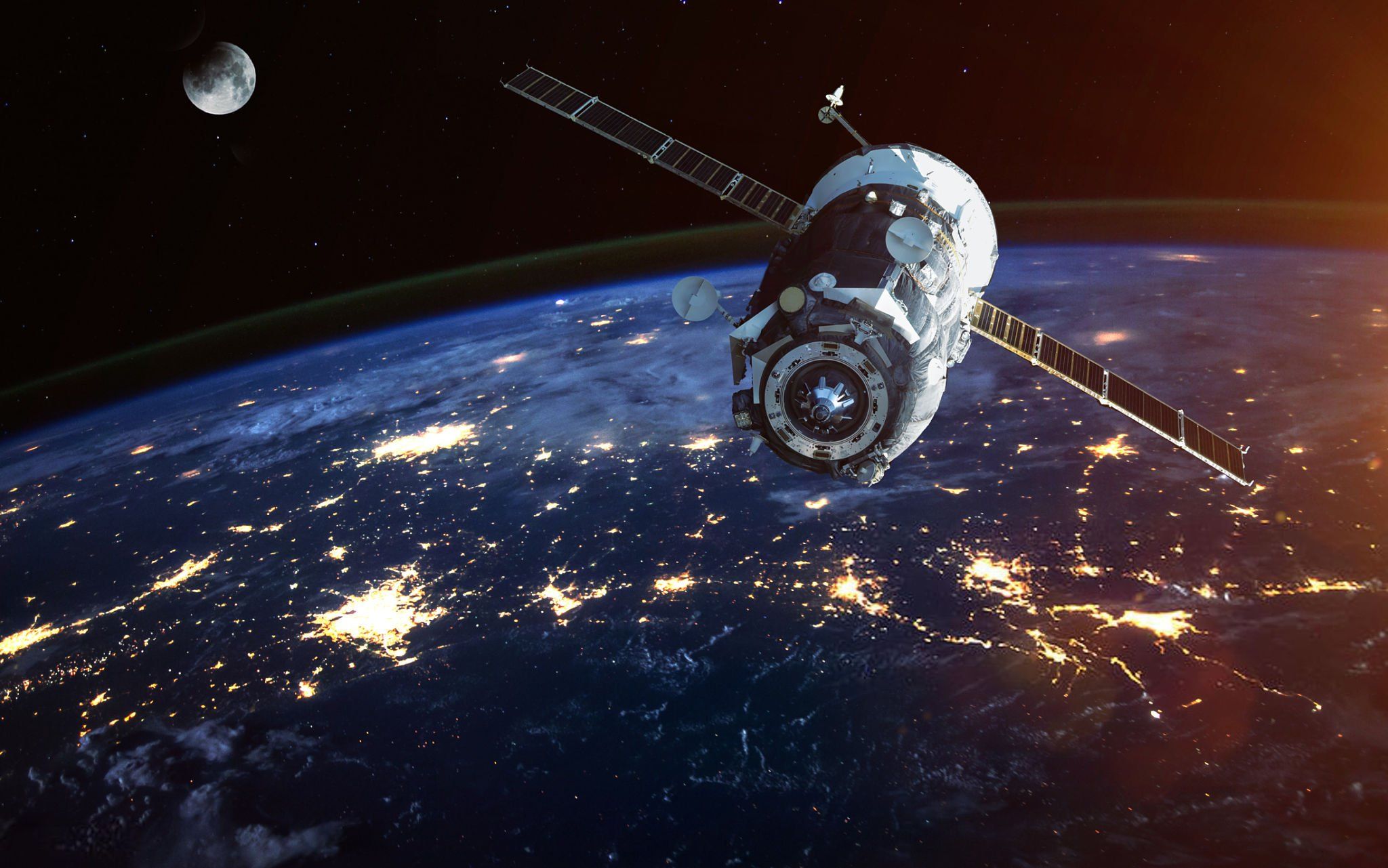
Remote sensing satellite
🔭 2. Ứng Dụng Của Vệ Tinh Trong Viễn Thám
Vệ tinh không chỉ “nhìn xuống” mà còn phân tích và cảnh báo các vấn đề đang diễn ra trên bề mặt Trái Đất:
🌿 Environmental Monitoring
-
Tracking air, water pollution
-
Monitoring forest fires, floods, droughts
-
Observing ecosystem changes
☁️ Climate Change Monitoring
-
Recording global temperature changes
-
Analyzing ice melt, sea-level rise phenomena
-
Supporting long-term climate projection models
🌳 Natural Resource Management
-
Monitoring forests, land, water sources
-
Tracking mineral exploitation and environmental conservation
🌾 3. Applications of Satellites in Agriculture
Với vệ tinh, nông dân có thể “nhìn thấy” cả cánh đồng từ trên cao và điều chỉnh quy trình canh tác thông minh hơn.
🌱 Crop and Soil Monitoring
-
Detecting areas lacking water, nutrients
-
Assessing soil moisture, monitoring plant growth
📈 Predicting Crop Yields
-
Based on optical and biological data
-
Helping farmers plan planting – harvesting efficiently
🐛 Early detection of pests and diseases
-
Recognize abnormalities in plant color and density
-
Limit the overuse of pesticides
💧 Smart water management
-
Monitor water availability
-
Optimize irrigation systems during drought seasons
✅ 4. Benefits of Applying Satellite Technology to Agriculture
-
💸 Cost savings: No need for manual surveys, data is automatically updated
-
📊 Increased productivity: Data-driven farming → reduce waste, increase efficiency
-
🌱 Environmental protection: Limit chemicals, use water more effectively
-
📡 More accurate decisions: Reliable database for each season
🚀 Remote Sensing Future and Smart Agriculture
Vietnam and the world are moving towards a high-tech agriculture model, in which remote sensing satellites play a foundational role.
In the near future:
-
🌐 Mini satellites and high-resolution imagery will become more common
-
🤖 Integration with AI and IoT for farming automation
-
📡 Satellite internet will help farmers in remote areas easily access technology
📌 Conclusion
Satellites not only help us “see from above,” but also provide a deep – wide – accurate perspective to understand and improve the agricultural production environment.
🔗 Want to learn more about suitable satellite equipment for agriculture or remote sensing solutions in Vietnam?
Discover now at: 🌐 Website: