English
  Tiếng Việt
 In the context of climate change and increasingly severe environmental issues, satellite tracking technology has played a crucial role in environmental protection. Modern satellite monitoring devices not only help monitor the Earth's condition but also assist organizations, governments, and environmental protection agencies in making informed decisions for nature conservation and mitigating human impact on the planet. This article will explore how satellite technology helps protect the environment and promote green technology.
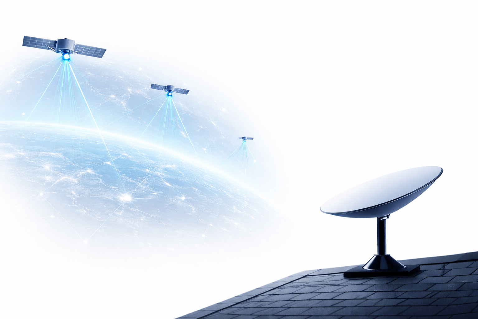
A satellite
satellite monitoring
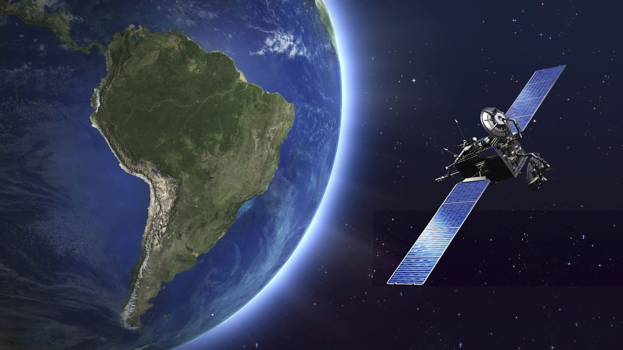
technology in environmental protection is monitoring global climate change. Satellites can provide accurate data on satellite tracking, climate change, and extreme weather events such as storms, floods, and droughts. Monitoring Global Temperature: Satellites can measure the Earth's surface temperature in real-time, helping to identify rapidly warming areas and predict future changes. This helps scientists and governments build more effective climate change response policies. Tracking Climate Change: Satellites like NASA's Landsat, can record changes in forest areas, ice, and other natural resources. This data is crucial for studying the process of climate change and predicting its impact on ecosystems and humans. và những hiện tượng thời tiết cực đoan như bão, lũ lụt, và hạn hán.
- Global Temperature Monitoring: Satellites can measure the Earth's surface temperature in real-time, helping to identify rapidly warming areas and predict future changes. This assists scientists and governments in developing more effective climate change response policies.
- Monitoring Climate Change: Các vệ tinh như Landsat của NASA có thể ghi lại sự thay đổi của các khu vực rừng, băng tuyết và các nguồn tài nguyên thiên nhiên khác. Dữ liệu này rất quan trọng trong việc nghiên cứu quá trình thay đổi khí hậu và dự đoán tác động của nó đối với hệ sinh thái và con người.
2. Monitoring Forests and Forest Loss
The loss of forest area due to logging, agriculture, and urban development is one of the main causes of climate change and ecosystem imbalance. Satellite monitoring technology helps monitor changes in forests globally, especially tropical forests.satellite tracking: Satellites are capable of capturing high-resolution images, helping to detect illegally logged forest areas. This data is used to alert authorities and environmental protection organizations about deforestation.
- Monitoring forest recovery: Satellites can also track reforestation and ecosystem restoration programs. Satellite data helps assess the effectiveness of forest protection campaigns and propose improvement measures.
- https://youtu.be/Fjbz-Rzmzxw?si=XjWk7qt5RQ_BzHc13. Monitoring Air Pollution and Water Quality
Air pollution monitoring
Technologysatellite tracking: Satellites can detect areas at risk of water pollution, helping water resource managers detect incidents early and ensure water safety.
- 4. Reducing the Impact of Natural Disasters Through Satellite MonitoringNatural disasters such as storms, floods, earthquakes, and forest fires are becoming increasingly frequent and intense due to the impact of climate change. Satellite technology plays an important role in mitigating the impact of these disasters.
- Early prediction and warning: Satellites can detect areas at risk of water pollution, helping water resource managers to identify incidents early and ensure water safety.
4. Minimizing the Impact of Natural Disasters Through Satellite Monitoring
Natural disasters such as storms, floods, earthquakes, and wildfires are becoming more frequent and intense due to the impact of climate change. Satellite technology plays a crucial role in minimizing the impact of these disasters.
- Early Warning and ForecastingThe satellites provide data on weather and climate, helping to predict natural disasters such as storms, floods, or wildfires. This allows governments and communities to prepare in a timely manner, reducing loss of life and property.
- Disaster MonitoringAfter a natural disaster occurs, satellites can help assess the scale of damage and support relief and recovery efforts.
https://youtu.be/rx9O4UTrDCk?si=jaY1tAnmf_7cOGee
5. Supporting Renewable Energy Initiatives
Technologysatellite trackingalso supports the development ofrenewable energy initiativessuch as solar and wind energy. Satellites help identify areas with high potential for renewable energy projects, thereby promoting the transition to green energy.
- Analyzing Solar Energy PotentialSatellites can measure the amount of solar radiation in different areas, helping to identify areas with high potential for installing solar panels.
- Monitoring Wind Energy PotentialSatellites can also provide information on wind speed and direction, helping investors find ideal locations for building wind farms.
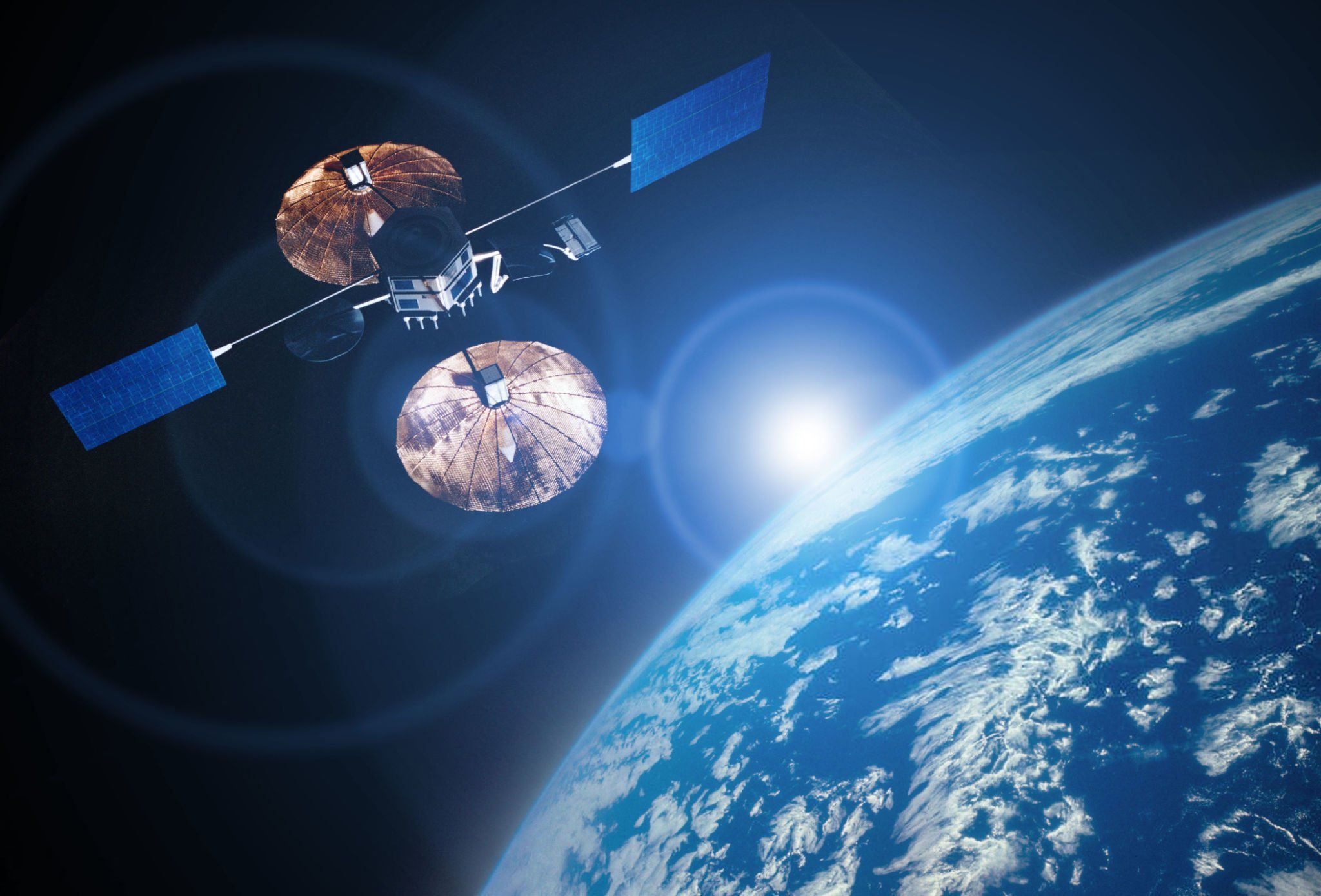
A satellite
Conclusion
Technologysatellite trackinghas opened up a new world in environmental protection and climate change response. From monitoring forests and air quality to mitigating the impact of natural disasters, satellites offer groundbreaking solutions to protect our green planet. With the continuous development of technology, we can look forward to a future ofgreen technologystronger, where satellites play a crucial role in environmental protection and improving the quality of life for future generations.