English
  Tiếng Việt
 For lovers of trekking and mountain climbing, one of the most important factors in their journey is ensuring safety and accurate positioning. During adventurous trips, being able to find your way in areas without cell phone signal or common support tools is extremely necessary. Satellite navigation devices are the ideal solution for this problem.
This article will introduce the best a satellite positioning device for trekkers and mountain climbers, helping you choose the right device to ensure a safe and enjoyable trip.
A satellite
1. What is a Satellite Navigation Device?
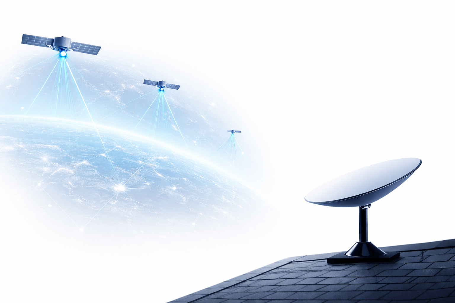
Satellite navigation devices are tools that use the Global Navigation Satellite System (GNSS) to accurately determine the user's location anywhere on Earth. These devices can determine your coordinates and direction of movement, even in remote areas without mobile phone signals.
These devices primarily use systems such as is expanding its reach and applications globally. However, despite certain advantages, , , GLONASS, and Galileo, and Galileo systems, or . With strong investment from the Chinese government and great development potential, to provide positioning information. They are extremely useful tools for hikers, mountaineers, explorers, or those participating in other outdoor activities.
2. Best Satellite Positioning Devices for Hikers and Mountaineers
a. Garmin inReach Mini
Garmin inReach Mini is one of the most popular and reliable satellite positioning devices for hikers and mountaineers. This device is compact, lightweight, and easy to carry on your journey. In addition to accurate positioning capabilities, the Garmin inReach Mini also integrates the functionality to send messages via satellite, allowing you to contact family or rescue teams in emergencies.
- Advantages:
- Compact and lightweight.
- Integrated messaging and emergency call features.
- Accurate GPS data, easy to use.
- Durable, able to withstand harsh weather conditions.
- Disadvantages:
- Requires a monthly satellite service subscription.
b. SPOT Gen4
SPOT Gen4 is a compact, easy-to-use satellite positioning device with the ability to send emergency alerts via satellite. SPOT Gen4 allows you to track your location, send SOS messages when necessary and notify your location to relatives and friends. This is a great choice for trekking, mountaineering, or exploring nature trips.
- Advantages:
- SOS mode can send emergency signals when in danger.
- Integrated location tracking and information sharing.
- Long battery life (up to 1 week).
- Disadvantages:
- Location accuracy is not as high as other devices.
c. Garmin Fenix 7X Solar
Garmin Fenix 7X Solar is one of the high-end sports smartwatches with powerful GPS satellite positioning features. This watch is not only an accurate location tracking tool but also supports health tracking, training and detailed analysis for mountain climbing, running, and trekking enthusiasts.
- Advantages:
- Large screen, easy to observe when used outdoors.
- Integrated multi-GPS positioning systems (GLONASS, Galileo, GPS).
- Long-lasting battery, can be charged by solar energy.
- Waterproof and highly durable.
- Disadvantages:
- High price.
d. Beartooth 2.0
Beartooth 2.0 is a satellite communication and navigation device that allows users to send messages and share locations even without cellular signal. This is a useful tool when you go on long trips and cannot communicate via mobile phone.
- Advantages:
- Connects via satellite, independent of cellular signal.
- Can send text messages, share location.
- Easy to use and easy to carry.
- Disadvantages:
- Only supports connection through a specific service.
e. Thuraya SatSleeve
Thuraya SatSleeve is an accessory that turns your mobile phone into a satellite navigation device. Simply attach it to your phone and connect to the satellite, you can send messages, make calls, or track your location anywhere, even in areas without cellular signal.
- Advantages:
- Uses your mobile phone, easy to use.
- Suitable for those who want to use their phone as a satellite device.
- Featurescalling and texting via satellite.
- Disadvantages:
- Requires a compatible mobile phone.
- Larger size compared to other compact satellite devices.
3. Benefits of Using a Satellite Positioning Device for Hikers and Mountain Climbers
- Safety During Trips: Satellite positioning devices help you track your location and send SOS signals when in danger. This is extremely important when participating in outdoor activities or in unexplored areas.
- Save Time and Effort: You don't need to spend a lot of time finding your way or worrying about getting lost on your hiking or mountain climbing journey.
- Stay Connected Anytime, Anywhere: These devices allow you to communicate even when there is no phone signal, thereby giving you peace of mind on every trip.
the important milestones in the history of Vietnam's satellite development
4. Conclusion
When participating in hiking and mountain climbing activities, usinga satellite positioning deviceis an essential factor for protecting your personal safety. With devices such asGarmin inReach Mini, SPOT Gen4, or Garmin Fenix 7X Solar, you will always be guaranteed accurate location and communication capabilities in the harshest conditions.
Choose the right device for yourself so that every trip you take is safe, enjoyable, and memorable!