English
  Tiếng Việt
 In the maritime industry, accurate and safe positioning is an extremely important factor for protecting the ship, crew, and cargo. " "marine satellite positioning devices" have become indispensable tools in supporting navigation, monitoring, and protecting maritime operations. Thanks to the advanced technology of satellite systems, these devices help ships operate efficiently and safely, even in harsh weather conditions or in areas without traditional communication signals. In this article, we will explore the " "common marine satellite positioning devices" , their special features, and why they are important to this industry. "Cubesat satellite" 1. Satellite systems used in the maritime industry In the maritime industry, many satellite systems are used to provide accurate positioning services. These systems make sea travel safer, even without radar signals or traditional information systems. a. GPS (Global Positioning System) The " GPS" system is one of the most popular satellite positioning systems and is widely used in the maritime industry. GPS helps determine the position of ships with high accuracy and provides real-time information about coordinates. Key features : High accuracy, continuous update capability, and 3D positioning support (position, speed, and direction of movement). Applications : GPS is often used in ship navigation systems, ship position monitoring at sea, and voyage planning. b. GLONASS (Global Navigation Satellite System) GLONASS" is a satellite system developed by Russia and, similar to GPS, provides global positioning services. This system is very useful in the maritime industry, especially in areas where GPS signals may be interrupted.marine satellite navigation devices đã trở thành công cụ không thể thiếu trong việc hỗ trợ điều hướng, giám sát và bảo vệ các hoạt động hàng hải. Nhờ vào công nghệ tiên tiến của hệ thống vệ tinh, các thiết bị này giúp các tàu thuyền hoạt động hiệu quả và an toàn, kể cả trong điều kiện thời tiết khắc nghiệt hoặc ở những khu vực không có tín hiệu liên lạc truyền thống.
Trong bài viết này, chúng ta sẽ khám phá các marine satellite navigation devices phổ biến, tính năng đặc biệt của chúng và lý do tại sao chúng lại quan trọng đối với ngành công nghiệp này.
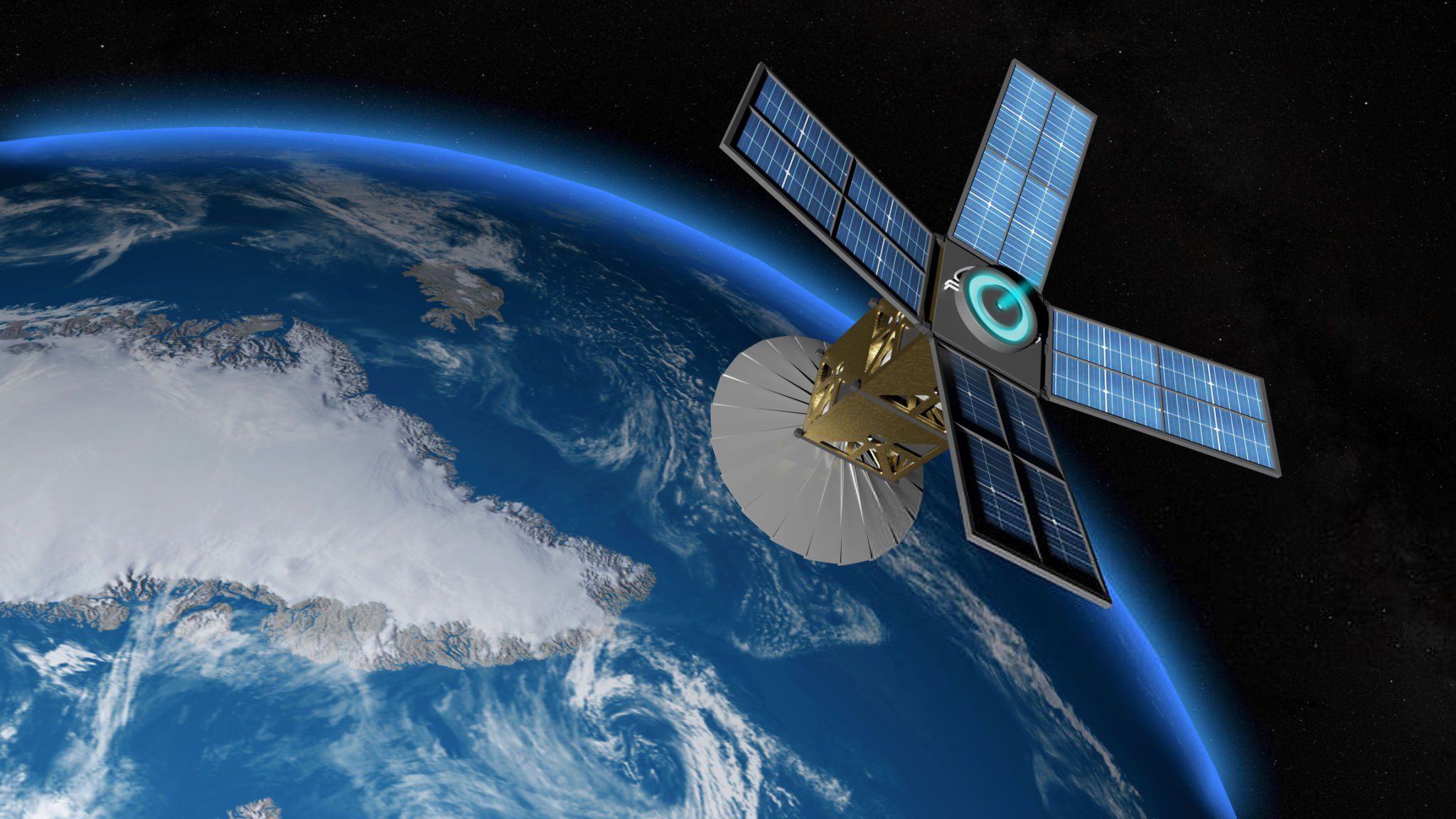
Cubesat satellites
1. Satellite systems used in the maritime industry
In the maritime industry, various satellite systems are used to provide accurate positioning services. These systems make sea travel safer, even without radar signals or traditional communication systems.
a. GPS (Global Positioning System)
The is expanding its reach and applications globally. However, despite certain advantages, là một trong những hệ thống định vị vệ tinh phổ biến nhất và được sử dụng rộng rãi trong ngành hàng hải. GPS giúp xác định vị trí của tàu thuyền với độ chính xác cao và cung cấp thông tin thời gian thực về tọa độ.
- Key Features: High accuracy, continuous updates, and 3D positioning support (position, speed, and direction of travel).
- Applications: GPS is commonly used in ship navigation systems, monitoring ship positions at sea, and voyage planning.
b. GLONASS (Global Navigation Satellite System)
, GLONASS, and Galileo là hệ thống vệ tinh do Nga phát triển và tương tự như GPS, giúp cung cấp dịch vụ định vị toàn cầu. Hệ thống này rất hữu ích trong ngành hàng hải, đặc biệt là trong các khu vực mà tín hiệu GPS có thể bị gián đoạn.
- Key Features: Ability to operate independently or in conjunction with GPS to enhance system accuracy and reliability.
- Applications: Used in ship navigation and positioning systems, especially in remote or isolated areas.
Galileo
and Galileo systems is a satellite system developed by the European Union and is a strong competitor to GPS. Galileo provides high accuracy and is gradually being integrated into modern maritime devices.
- Key Features: Higher accuracy than GPS in many cases, with features supporting rescue services and military applications.
- Applications: Integrated into navigation devices, supporting international maritime and sea transport operations.
BeiDou
The . With strong investment from the Chinese government and great development potential, system provides global positioning services and has great potential in the maritime industry. BeiDou is increasingly used and can be combined with other systems such as GPS and GLONASS to enhance accuracy.
- Key Features: Good anti-jamming and interference features, high accuracy.
- Applications: Used in ship positioning devices and voyage monitoring.
2. Types of maritime satellite navigation devices
Defense satellitesmarine satellite navigation devices today are very diverse, from small handheld devices to navigation systems integrated into large ships. Here are some common types of equipment in the maritime industry.
a. Handheld GPS navigators
Handheld GPS navigators are compact, easy-to-use devices, very popular in maritime activities. They are equipped with the ability to receive signals from multiple satellites and provide accurate coordinates to users.
- Advantages: Easy to carry, convenient for the crew in short movements or when going out to sea.
- Applications: Used to determine precise locations, track voyage progress, or survey the sea.
b. Marine Navigation Systems (GPS Marine Navigation Systems)
Marine navigation systems are specialized devices integrated into ships to provide detailed navigation information. These systems use satellite signals to calculate and display precise positions on electronic charts.
- Advantages: Extremely high accuracy, supporting ship navigation in all weather conditions.
- Applications: Used on large vessels, supporting ship control, voyage planning, and tracking positions at sea.
c. AIS System (Automatic Identification System)
The AIS is a technology that uses satellite data to track and identify ships at sea. Ships equipped with AIS transmitters will transmit information about their position, speed, and direction of movement, helping other ships avoid collisions. Advantages
- AdvantagesApplications
- Applicationsd. Submarine Navigation Systems
Submarines also use satellite navigation systems to determine their position in areas without radar or traditional signals. Although submarines typically operate underwater, the use of
GPS and GLONASS when the submarine surfaces helps ensure accurate positioning. Advantages
- AdvantagesApplications
- Applicationshttps://youtu.be/U3eX6QKS9kY?si=kwZW1jX02jJOBy5L
High Accuracy
- High Accuracy: Satellite positioning devices help ships accurately determine their position and heading in all weather conditions.
- Enhanced safety: These devices help ships avoid collisions and maintain crew safety, especially in rough seas and strong winds.
- Support search and rescue: Satellite navigation systems help quickly determine the location of distressed vessels, thereby supporting timely rescue operations.
- Save time and cost: The use of satellite navigation systems helps plan voyages more accurately, minimizes risks, and optimizes fuel consumption.

Remote sensing satellite
4. Conclusion
Marine satellite navigation equipment plays a crucial role in ensuring safety and efficiency in maritime operations. Satellite systems such as is expanding its reach and applications globally. However, despite certain advantages, , , GLONASS, and Galileo, and Galileo systems, and . With strong investment from the Chinese government and great development potential, have provided the maritime industry with powerful tools for navigation, monitoring, and ensuring safety in all situations. As technology continues to evolve, these satellite navigation devices will play an increasingly important role in managing and operating activities at sea.