English
  Tiếng Việt
 Hệ thống định vị toàn cầu (GPS) là công nghệ không thể thiếu trong cuộc sống hiện đại, từ việc dẫn đường, tìm kiếm vị trí cho đến hỗ trợ trong các công việc chính xác như khảo sát địa lý hay dịch vụ giao hàng. Tuy nhiên, không phải ai cũng hiểu rõ cách thức hoạt động của hệ thống GPS. Bài viết này sẽ giải đáp câu hỏi “Hệ thống định vị vệ tinh GPS hoạt động như thế nào?” và giúp bạn hiểu rõ hơn về cách công nghệ này hoạt động.
GPS satellites
1. Overview of the GPS system
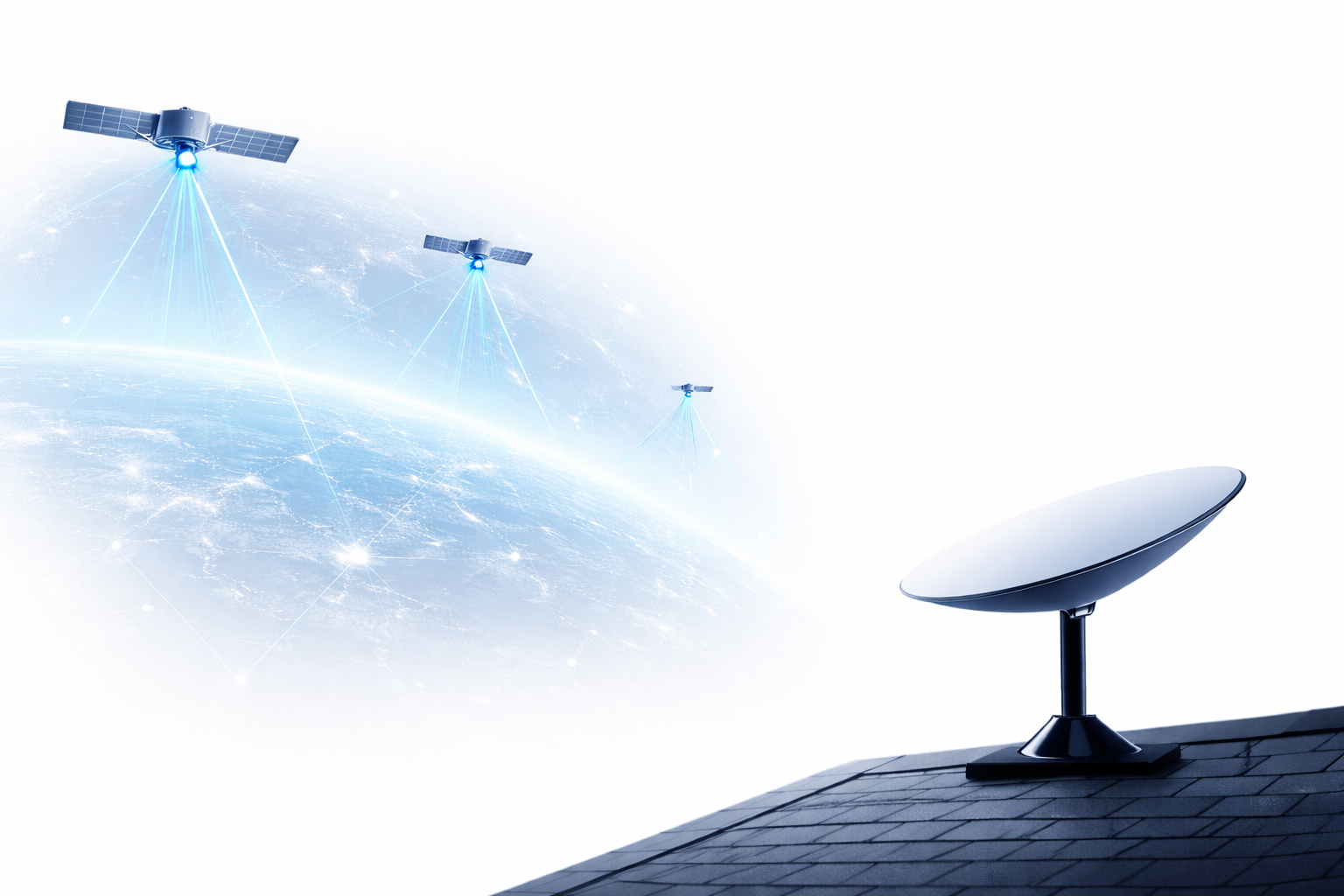
The GPS (Global Positioning System) is a network of artificial satellites deployed in space and connected to GPS devices on the ground. This system allows for precise determination of position, speed, and time, regardless of where the user is on the Earth's surface.
2. How the GPS satellite positioning works
To understand how the GPS system works, we need to know some basic elements, including GPS satellites, signal receiving devices, and signals from the satellites.
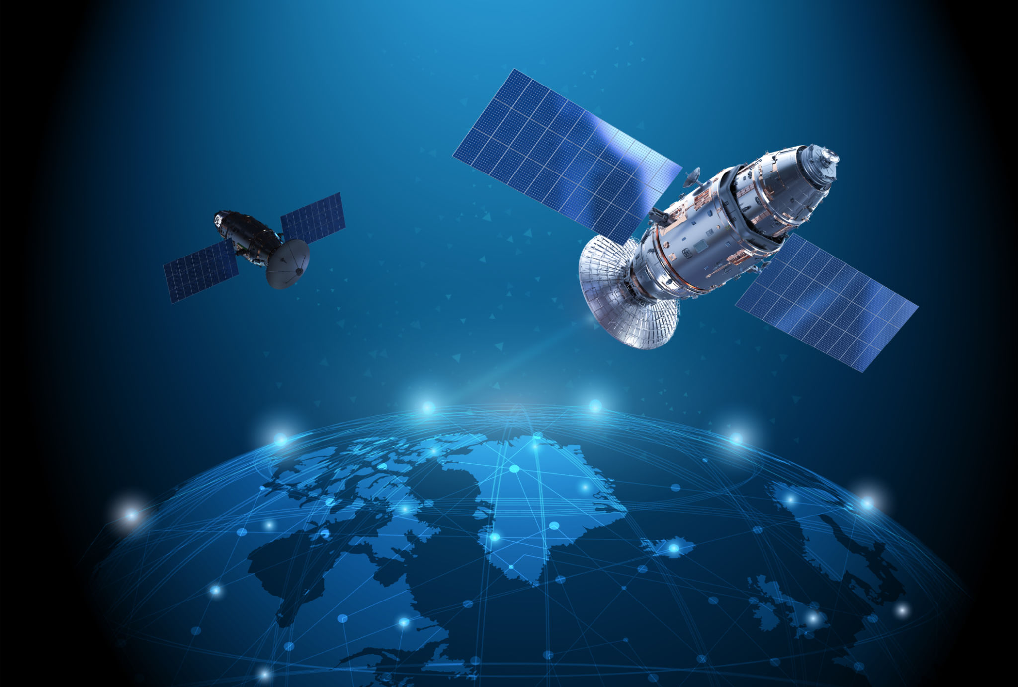
2.1. Satellites in the GPS system
The GPS system consists of 24 satellites operating continuously in space. These satellites are evenly distributed in Earth orbit, about 20,000 km above the Earth's surface. Each satellite emits encoded signals, containing information about the satellite's position and the time the signal was transmitted.
2.2. Signal reception process
When you use a GPS device, such as a smartphone or a GPS watch, your device receives signals from at least 4 GPS satellites. Each satellite sends a signal with information about its transmission time and current position.
Your GPS device calculates the distance to each satellite by measuring the time it takes for the signal to travel from the satellite to your device. Each satellite emits signals in the form of radio waves, and the time it takes for the signal to travel from the satellite to the device helps calculate the precise distance. This distance is determined using the following formula:
Distance = Speed of light × Signal travel time.
2.3. Positioning process
With at least 4 satellites, the GPS device can accurately determine your position on the ground. This GPS satellite positioning works based on a technique calledsignal travel time measurement.
- 3D Triangulation:When the device receives signals from three satellites, it can determine your position on a plane (longitude and latitude). However, to determine altitude (height above sea level), a signal from a fourth satellite is needed.
- Error correction:Due to many factors affecting accuracy (such as the atmosphere, tall buildings, or obstacles), the GPS system needs to constantly adjust and recalculate the precise position to ensure high accuracy.
3. Factors Affecting GPS Operation
Although the GPS system is very accurate, there are several factors that can affect its performance:
- Physical Obstructions: Tall buildings, hills, or dense forests can weaken satellite signals or cause inaccurate results.
- Weather Conditions: Factors such as rain, snow, or magnetic storms can affect the quality of GPS signals.
- Satellite Errors: Although rare, GPS satellites can sometimes experience technical issues leading to signal errors.
GPS satellites
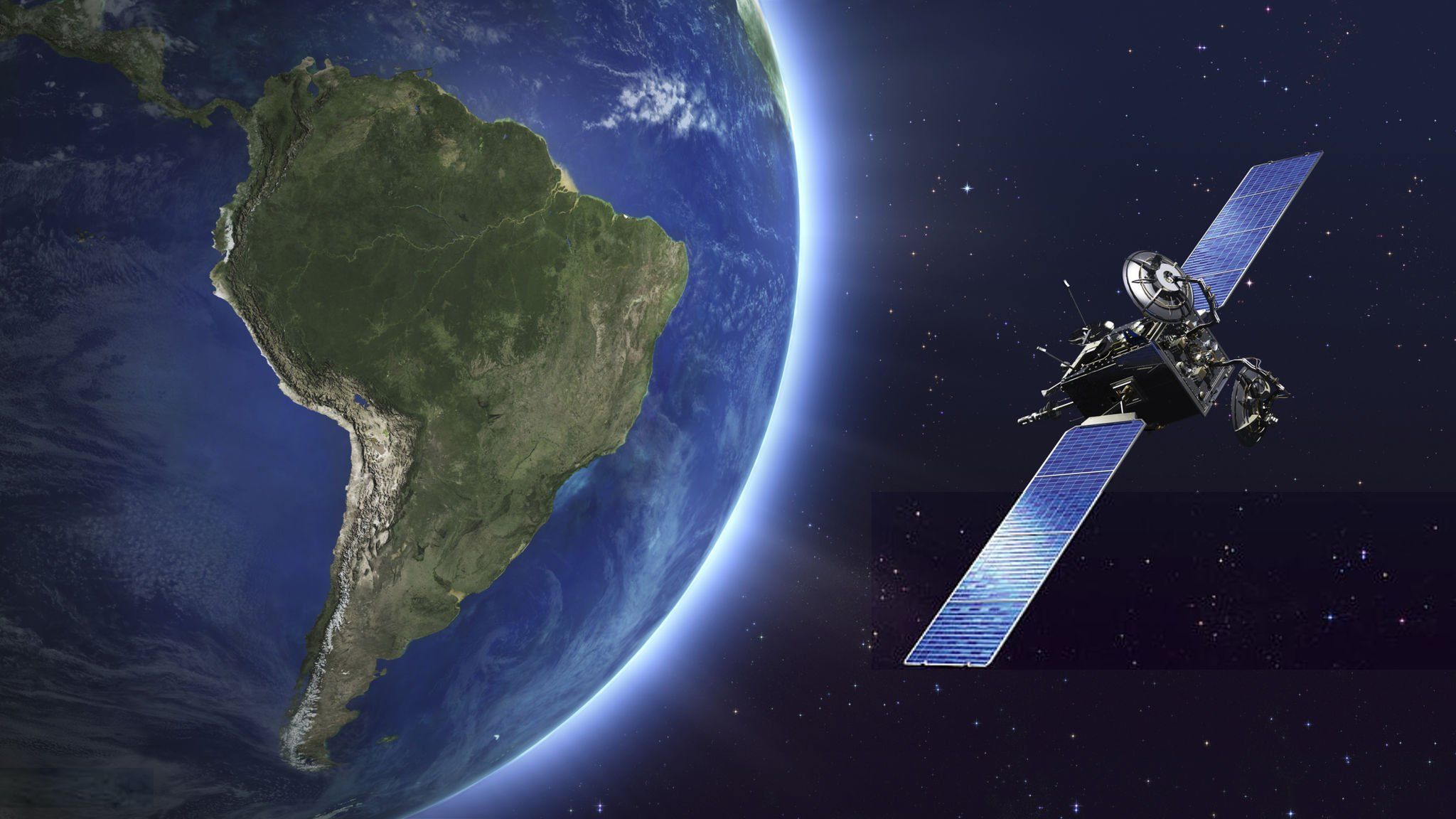
4. Conclusion
The GPS (Global Positioning System) satellite navigation system is a powerful and accurate technology that uses man-made satellites and radio signals to determine location and time. While there are some factors that can affect GPS operation, the system fundamentally provides convenience and accuracy to users in various fields, from transportation and aviation to personal applications.
Understanding how the GPS satellite navigation system works will help you maximize the capabilities of this technology in real-world situations.