English
  Tiếng Việt
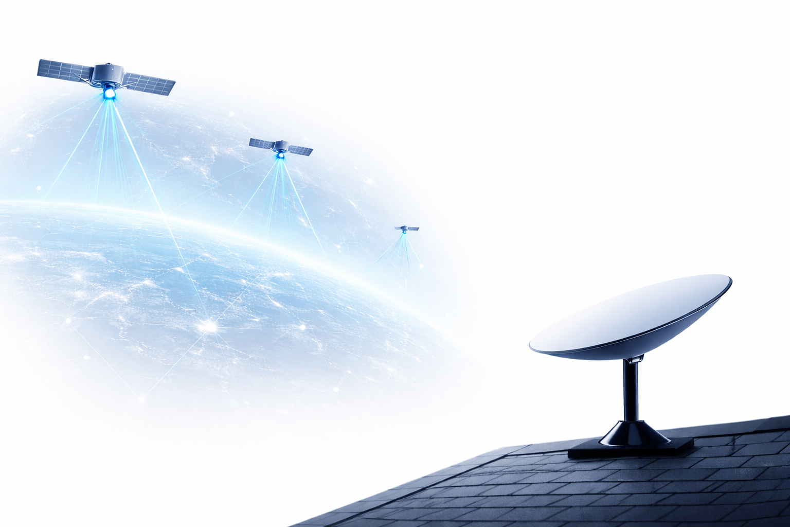
 Trong bối cảnh biến đổi khí hậu và sự khai thác tài nguyên ngày càng tăng, việc quản lý natural resources trở thành một nhiệm vụ cấp thiết đối với nhiều quốc gia. Một trong những công cụ hữu ích giúp cải thiện hiệu quả quản lý tài nguyên thiên nhiên chính là satellite solutions. Các vệ tinh cung cấp dữ liệu quan trọng về môi trường, đất đai, nguồn nước và các yếu tố liên quan khác, giúp các cơ quan, tổ chức và doanh nghiệp đưa ra các quyết định chính xác và hiệu quả. Trong bài viết này, chúng ta sẽ cùng tìm hiểu về satellite solutions in natural resource management và những lợi ích mà nó mang lại.
World Satellites
1. What is a Satellite Solution?
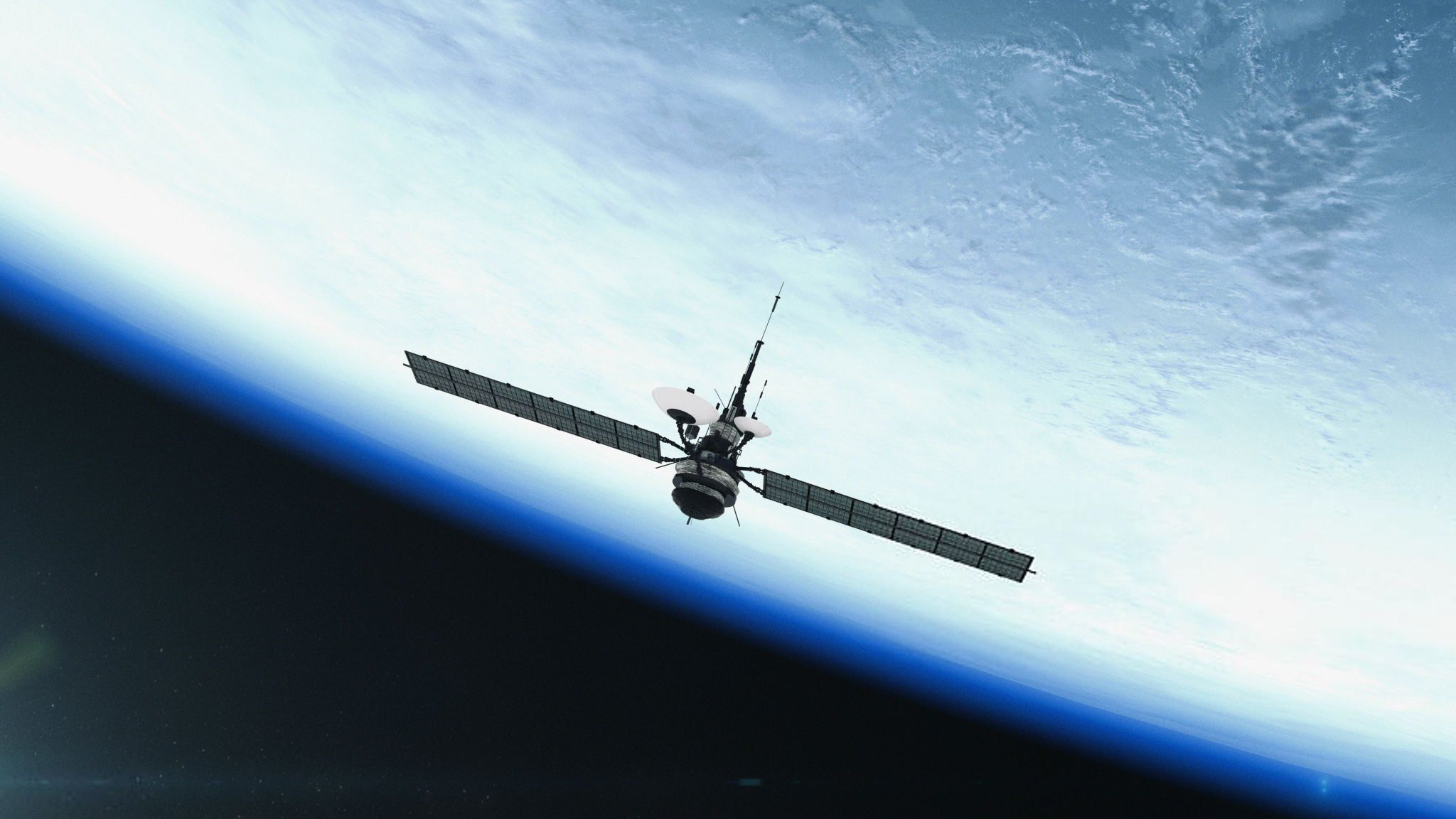
Satellite solutions là công nghệ sử dụng các vệ tinh nhân tạo để thu thập, xử lý và truyền tải thông tin từ không gian về trái đất. Các vệ tinh có thể cung cấp những hình ảnh, dữ liệu từ không gian về các yếu tố tự nhiên như đất đai, nước, khí quyển, và nhiều yếu tố khác mà chúng ta không thể quan sát trực tiếp từ mặt đất. Trong quản lý tài nguyên thiên nhiên, vệ tinh là công cụ mạnh mẽ giúp theo dõi và giám sát các nguồn tài nguyên trên toàn cầu.
2. Benefits of Satellite Solutions in Natural Resource Management
2.1. Land and Agriculture Monitoring
Một trong những ứng dụng quan trọng nhất của resource satellite solutions là giám sát tình trạng đất đai và hoạt động nông nghiệp. Các vệ tinh có thể cung cấp thông tin về sự thay đổi của đất đai, tình trạng mùa vụ, mức độ sử dụng đất và những tác động từ con người lên môi trường tự nhiên. Các hình ảnh vệ tinh từ các vệ tinh như Landsat hay Sentinel có thể cung cấp dữ liệu chi tiết về diện tích rừng, mức độ đô thị hóa, và tác động của biến đổi khí hậu đối với đất đai.
This helps management agencies make smarter decisions in resource allocation, sustainable agricultural development, and environmental protection.
2.2. Water Resource Management
Nước là một tài nguyên thiên nhiên quan trọng và dễ bị tổn thương. Các resource satellite solutions provides the ability to monitor the quality and quantity of water resources. Satellites can measure and track water levels in lakes, rivers, and irrigation systems, thereby providing information on available water and areas at risk of water scarcity.
In addition, satellites help monitor water quality, detect pollution, and changes in the aquatic environment, enabling authorities to implement effective water resource protection and management measures.
2.3. Forest Protection and Climate Change Monitoring
Forests are an indispensable part of the ecosystem and play an important role in regulating climate and protecting biodiversity. The use of satellite solutions in resource management helps monitor forest conditions, detect deforestation, and manage illegal logging activities.
Modern satellites, such as Sentinel-1 and Landsat, provide detailed images that help determine forest conditions, thereby supporting sustainable forest protection and development. At the same time, satellite technology also helps monitor and measure greenhouse gas emissions from forest areas, contributing to the management and mitigation of the impacts of climate change.
2.4. Wildlife Monitoring and Biodiversity Conservation
Another application of resource satellite solutions is monitoring and conserving wildlife. Satellites help identify wildlife habitats, especially for endangered species. Satellite data provides information on protected areas, migration corridors, and areas at risk of encroachment.
The use of satellites to monitor and protect wildlife helps conservation organizations develop effective and timely protection strategies.
2.5. Disaster Prevention and Weather Management
Climate change and extreme weather events are causing many disasters globally. Satellite solutions help monitor natural disasters such as storms, floods, droughts, and forest fires, thereby providing timely information for disaster response and prevention.
Satellites also help monitor global climate, from Earth's surface temperature to the state of clouds and the atmosphere, enabling scientists and governments to make forecasts and risk mitigation measures for natural disasters.
3. Optimize Costs with Satellite Solutions
Although the initial cost of satellite solutions can be high, the benefits they bring to natural resource management are enormous. The use of satellites helps countries and organizations save costs in data collection, monitoring, and resource protection. Satellite solutions reduce reliance on traditional monitoring methods, while providing accurate, timely, and easily updated data.
4. Conclusion
Satellite solutions in natural resource management are increasingly important and useful. From monitoring land, water resources, forest protection, wildlife conservation to dealing with climate change, satellites provide valuable information to make accurate and effective decisions. In the future, the application of satellite technology will continue to expand and contribute significantly to the protection of natural resources and sustainable development.