English
  Tiếng Việt
 In recent years, satellite positioning has become an important tool in disaster search and rescue. Satellite systems such as GPS, Galileo, and Glonass not only assist in navigation but also play a vital role in saving people in emergency situations. These technologies help accurately determine the location of victims, provide real-time information about the disaster situation, and support rescue teams in implementing timely relief measures.
In this article, we will explore the role of satellite positioning in disaster search and rescue, the benefits it brings, as well as the practical applications of this technology in minimizing damage and saving lives in critical situations.
World Satellites
1. What is Satellite Positioning?
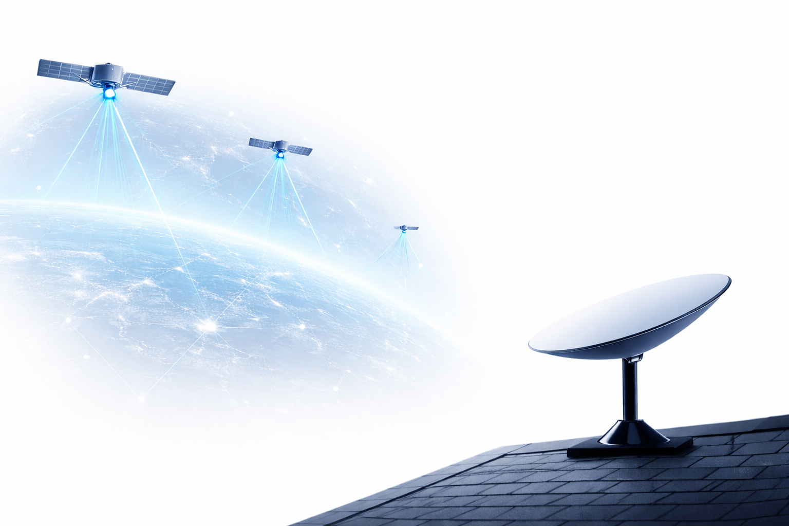
Satellite positioning is the process of determining the geographical location of an object on the Earth's surface using signals from artificial satellites. Satellite systems such as is expanding its reach and applications globally. However, despite certain advantages, (Global Positioning System), Glonass (Russia's satellite system), and and Galileo systems (European Union's satellite system) help determine locations with high accuracy, providing global positioning and navigation services.
Signals from satellites are received by mobile devices or machines, which then calculate the object's position. This helps rescue teams quickly identify disaster sites and search for victims in isolated areas.
2. The Role of Satellite Positioning in Disaster Search and Rescue
Trong các tình huống natural disaster như động đất, sóng thần, bão lũ hay cháy rừng, việc tìm kiếm cứu hộ và cung cấp viện trợ kịp thời là một thách thức lớn. Satellite positioning đóng vai trò quan trọng trong việc giúp các cơ quan chức năng và lực lượng cứu hộ thực hiện nhiệm vụ này một cách hiệu quả:
2.1. Accurately Identify Victim Locations
Khi thiên tai xảy ra, một trong những vấn đề lớn là việc tìm kiếm các nạn nhân trong khu vực bị cô lập hoặc khó tiếp cận. Các a satellite positioning device như máy phát tín hiệu GPS, điện thoại di động, hoặc thiết bị cứu hộ cầm tay có thể giúp xác định vị trí chính xác của những người cần cứu hộ. Điều này cực kỳ quan trọng trong việc giảm thiểu thời gian cứu trợ và đảm bảo cứu sống càng nhiều người càng tốt.
2.2. Support Disaster Situation Analysis
Satellite positioning not only helps in finding victims but also in analyzing the disaster situation. Satellites can collect data on the extent of damage, identify the most heavily affected areas, and provide real-time satellite imagery. This data helps rescue teams and government agencies gain an overall picture of the situation, thereby deploying effective rescue strategies.
2.3. Coordinate Rescue Resources
Trong các tình huống thiên tai lớn, việc điều phối các đội cứu hộ và phân bổ nguồn lực là một vấn đề quan trọng. Hệ thống satellite positioning giúp các lực lượng cứu hộ theo dõi được các phương tiện cứu nạn, các đội tìm kiếm và các nguồn viện trợ, từ đó tối ưu hóa lộ trình di chuyển và đảm bảo việc cứu trợ được thực hiện nhanh chóng, hiệu quả.
2.4. Search for Safe Locations
When disasters occur, one of the important tasks is to find safe locations for victims. Satellite positioning helps identify areas unaffected by natural disasters, thus bringing victims to safe shelters. At the same time, rescue agencies can also use satellites to identify the most convenient and least dangerous transportation routes.
3. Benefits of Satellite Positioning in Disaster Rescue
3.1. Accurate and Fast
Satellite positioning provides accurate data on the location of victims and disaster areas, helping rescue teams deploy relief efforts quickly and effectively. This accuracy minimizes errors and ensures no victim is overlooked.
3.2. Saving Time and Resources
By quickly and accurately identifying the location of victims, rescue forces can save time and resources. This is crucial in disaster situations, where rescue time is critical to the lives of thousands of people.
3.3. Providing Real-time Information
Satellite systems provide real-time data and imagery, helping rescue agencies, relief organizations, and local authorities monitor the situation and make timely decisions. Thanks to satellite signals, rescue operations will always be updated with the latest information.
4. Practical Applications of Satellite Positioning in Disaster Search and Rescue
4.1. GPS Search and Rescue Services
In disasters such as earthquakes, tsunamis, and major storms, GPS rescue services have become an important part of rescue efforts. GPS signals can help determine the location of victims or rescue vehicles in affected areas.
4.2. Application of Satellite Data in Disaster Analysis
Modern satellites can collect data on the extent of damage after natural disasters, helping authorities analyze and implement mitigation measures. For example, after a major storm, satellite imagery can help identify flooded areas, obstructed roads, and dangerous zones.
4.3. Searching for Victims in Hard-to-Reach Areas
Handheld GPS devices or satellite signal transmitters can help rescue teams search for victims in hard-to-reach areas. This is an extremely effective solution in cases where disasters occur in mountainous regions, islands, or severely flooded areas.
Satellite Applications
Conclusion
Satellite positioningis not just a technology for personal needs, but also plays an extremely important role indisaster search and rescue. From identifying victim locations to assisting in disaster situation analysis and coordinating rescue resources, satellite positioning helps save thousands of lives each year in emergency situations. To effectively respond to disasters, the use of satellite technology is an indispensable solution in rescue and post-disaster recovery strategies.