English
  Tiếng Việt
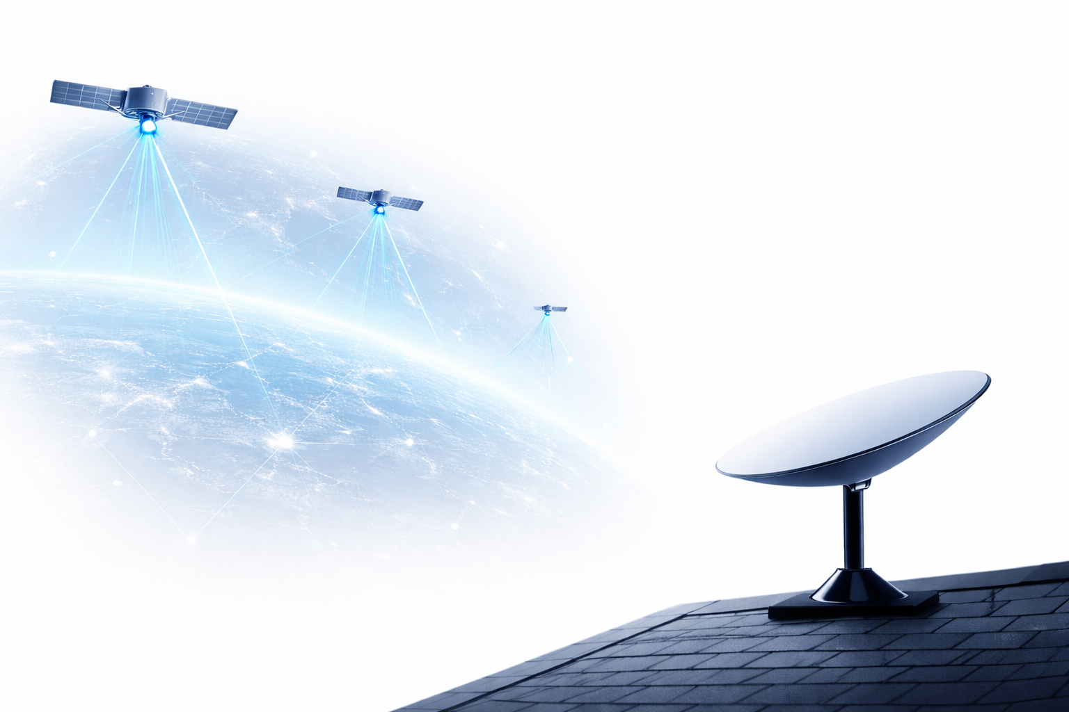
 In today's technology world, satellite positioning and technology and satellites, allowing IoT devices to be connected and transmit data via satellite instead of mobile networks or ground infrastructure. This is particularly useful in remote areas where mobile or stable internet networks are unavailable, enabling easy and efficient device connection and data transmission. have become important factors driving the development of industries. The combination of these two technologies creates a smart ecosystem where all devices can connect and communicate with each other automatically. This article will explore the relationship between satellite positioning and IoT, as well as how they combine to create breakthrough technological applications in the future.
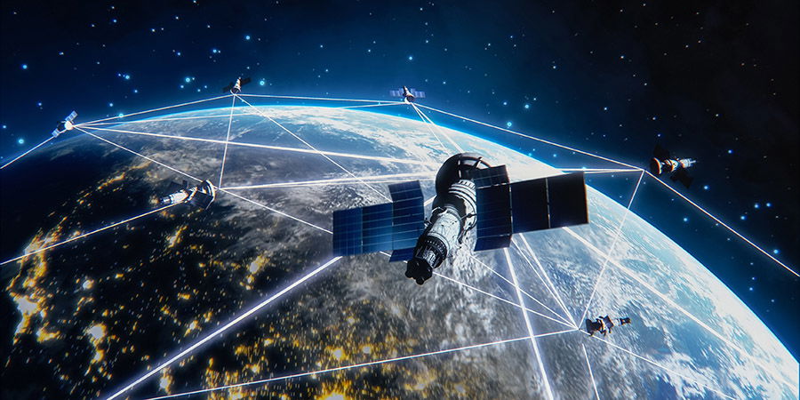
A satellite
1. What is Satellite Positioning?
Satellite positioning (GPS – Global Positioning System) is a system that uses satellites orbiting the Earth to determine the precise location of an object or device on the ground. This system provides accurate coordinate, altitude, and time data, thereby supporting many important applications such as positioning, navigation, traffic management, and many other applications.
2. What is the Internet of Things (IoT)?
The Internet of Things (IoT) is a concept that describes a network of physical devices connected to each other via the Internet, allowing them to collect and share data without direct human intervention. IoT devices can be sensors, smartwatches, smart home devices, industrial machinery, and many other things.
IoT has created a major shift in how devices communicate and work with each other, helping to optimize processes and create automatic, intelligent systems.
3. The Connection Between Satellite Positioning and IoT
The combination of satellite positioning and IoT offers great potential, especially in areas such as transportation, asset management, smart agriculture, smart cities and environmental management. Here are some typical applications of this connectivity:
3.1. Traffic and Transportation Management
Intelligent transportation systems use satellite positioning to track the location of vehicles in real-time. IoT sensors attached to vehicles help collect data such as speed, routes, and traffic conditions, thereby helping to adjust traffic flow, reduce congestion, and improve operational efficiency.
3.2. Smart Agriculture
The combination of satellite positioning and IoT helps farmers monitor land conditions, temperature, humidity, and other environmental factors in real-time. IoT sensors can be placed in fields to collect data from satellites, helping to optimize planting and crop care processes, while reducing the use of resources such as water and fertilizers.
3.3. Smart Cities
The combination of IoT and satellite positioning is the foundation of smart cities. IoT sensor systems deployed in the city help monitor and control factors such as traffic, public lighting, waste management, and the environment. Satellite positioning provides precise location information for IoT devices, helping to optimize processes and improve the quality of life for residents.
3.4. Asset and Material Management
satellite positioningsatellite positioning and IoT4. Benefits of Combining Satellite Positioning and IoT
4.1. Enhanced Accuracy and Efficiency
satellite positioning
The combination of satellite positioning and IoTThe connection between IoT devices and satellites helps minimize human intervention and automate processes. This not only saves costs but also increases work efficiency. For example, in the transportation industry, automatic adjustment of traffic signals and traffic flow based on data collected from IoT sensors and satellites helps reduce traffic congestion and accidents.
4.3. Forecasting and Emergency Management
The combination of IoT and satellite positioning allows for real-time situation monitoring and more accurate decision-making in emergency situations. These systems can provide information about natural disaster events such as storms, floods, and earthquakes, helping rescue agencies and governments respond quickly and effectively.
4.3. Forecasting And Emergency Management
The combination of IoT and satellite positioning allows for real-time situation monitoring and more accurate decision-making in emergency situations. These systems can provide information about natural disasters such as storms, floods, and earthquakes, helping rescue agencies and governments respond quickly and effectively.
5. Challenges When Combining Satellite Positioning and IoT
Despite many benefits, combining satellite positioning and IoT cũng gặp phải một số thách thức:
- Cost: The implementation of IoT infrastructure and satellites requires significant investment costs, especially for large-scale projects.
- Security and privacy: Collecting and sharing data from IoT devices and satellites can lead to security and privacy issues. Therefore, security measures need to be improved to protect user data.
- Scalability: As the number of IoT devices continues to grow, managing and maintaining them becomes more complex. Robust technological solutions are needed to handle the massive amount of data the system generates.
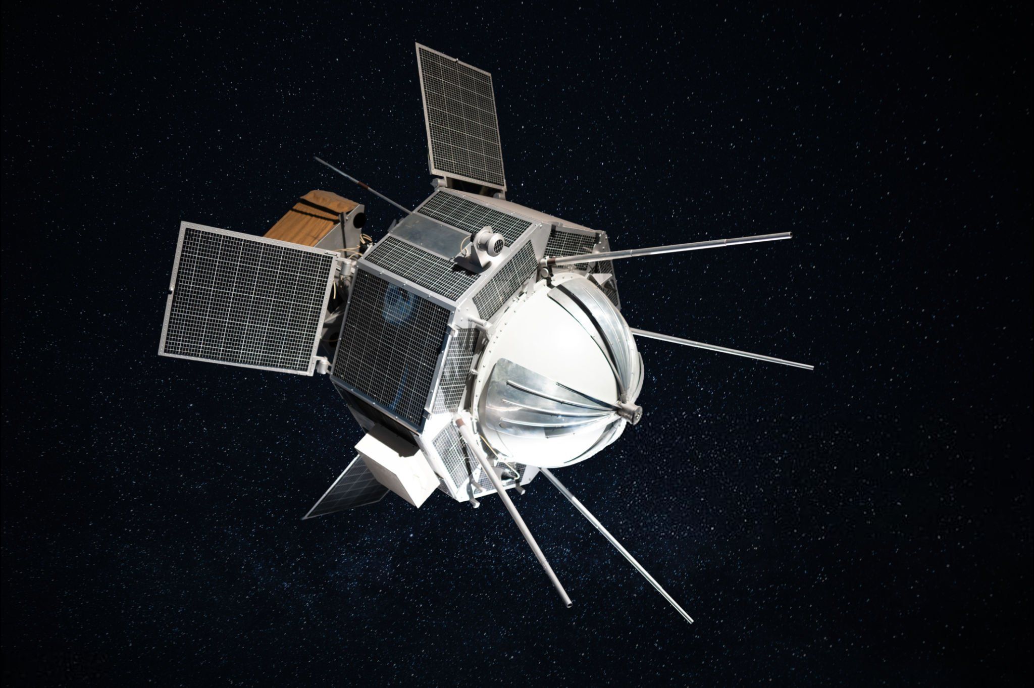
Natural Satellites
Conclusion
Satellite positioning and IoT are two important technologies of the future, and their combination is opening up many opportunities for smart applications in fields such as transportation, agriculture, smart cities, and asset management. Despite some challenges, with the continuous development of technology, the future of this connection promises to bring significant advancements, changing the way we live and work.